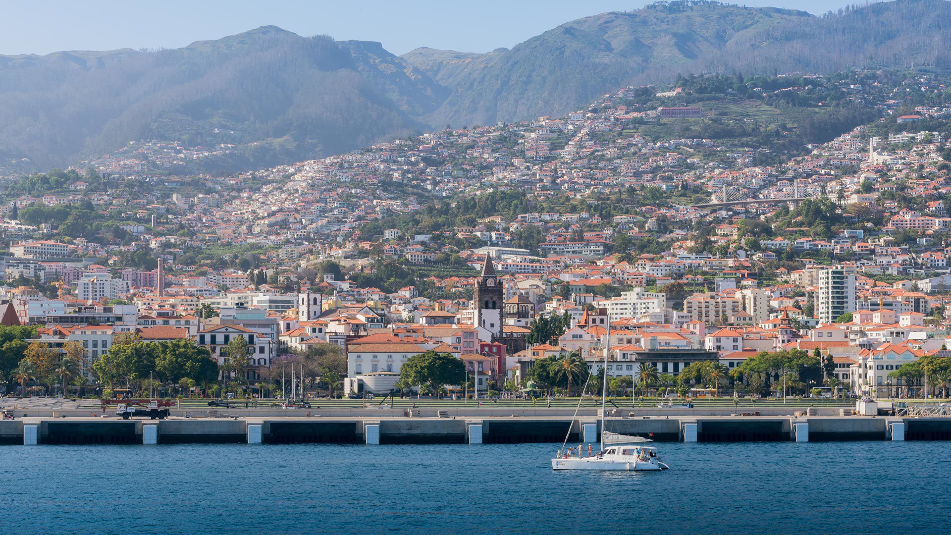
Surprise yourself at every step with the exuberant scenery of this archipelago.
Currently in
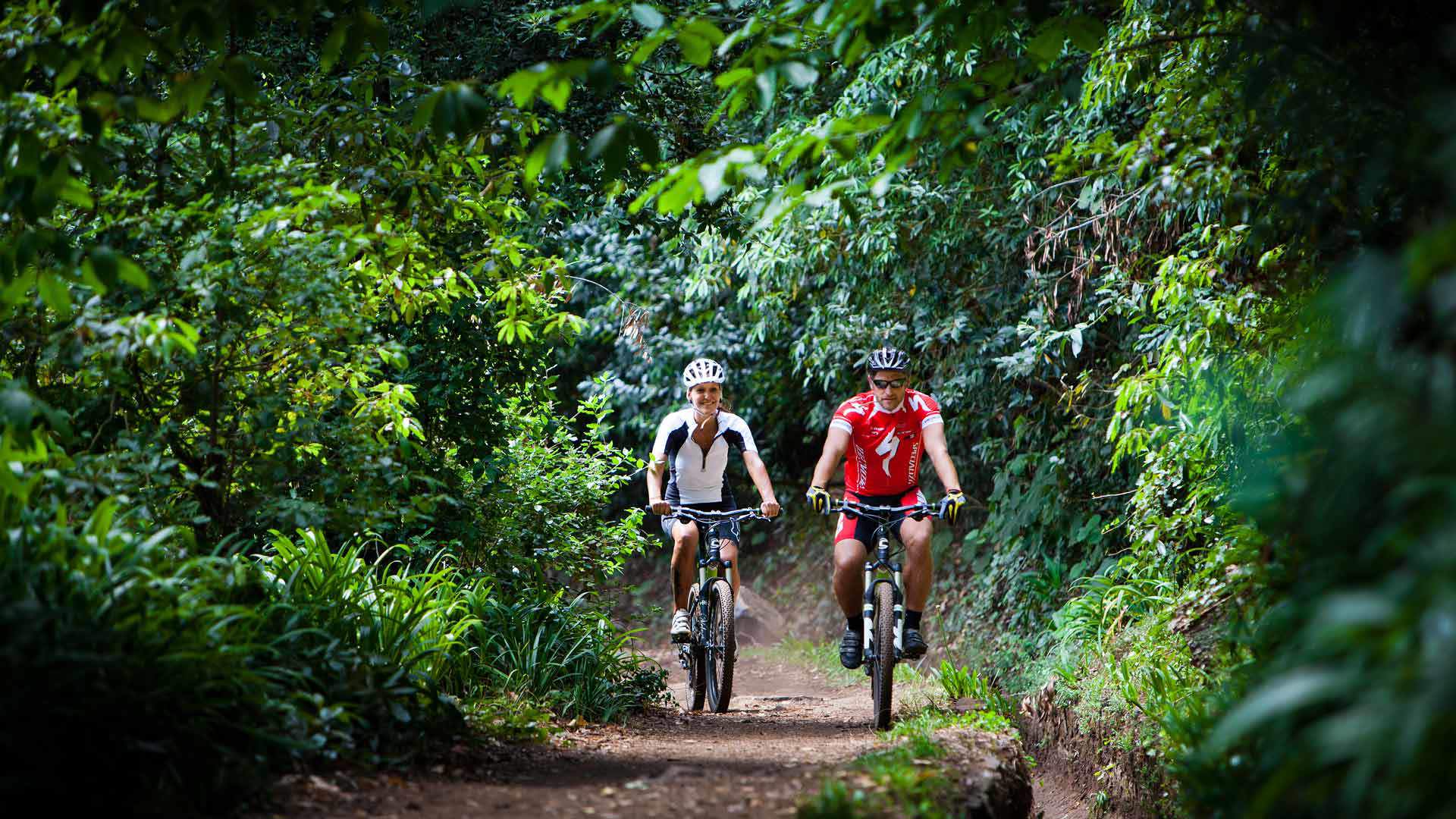
Hiking
Hiking
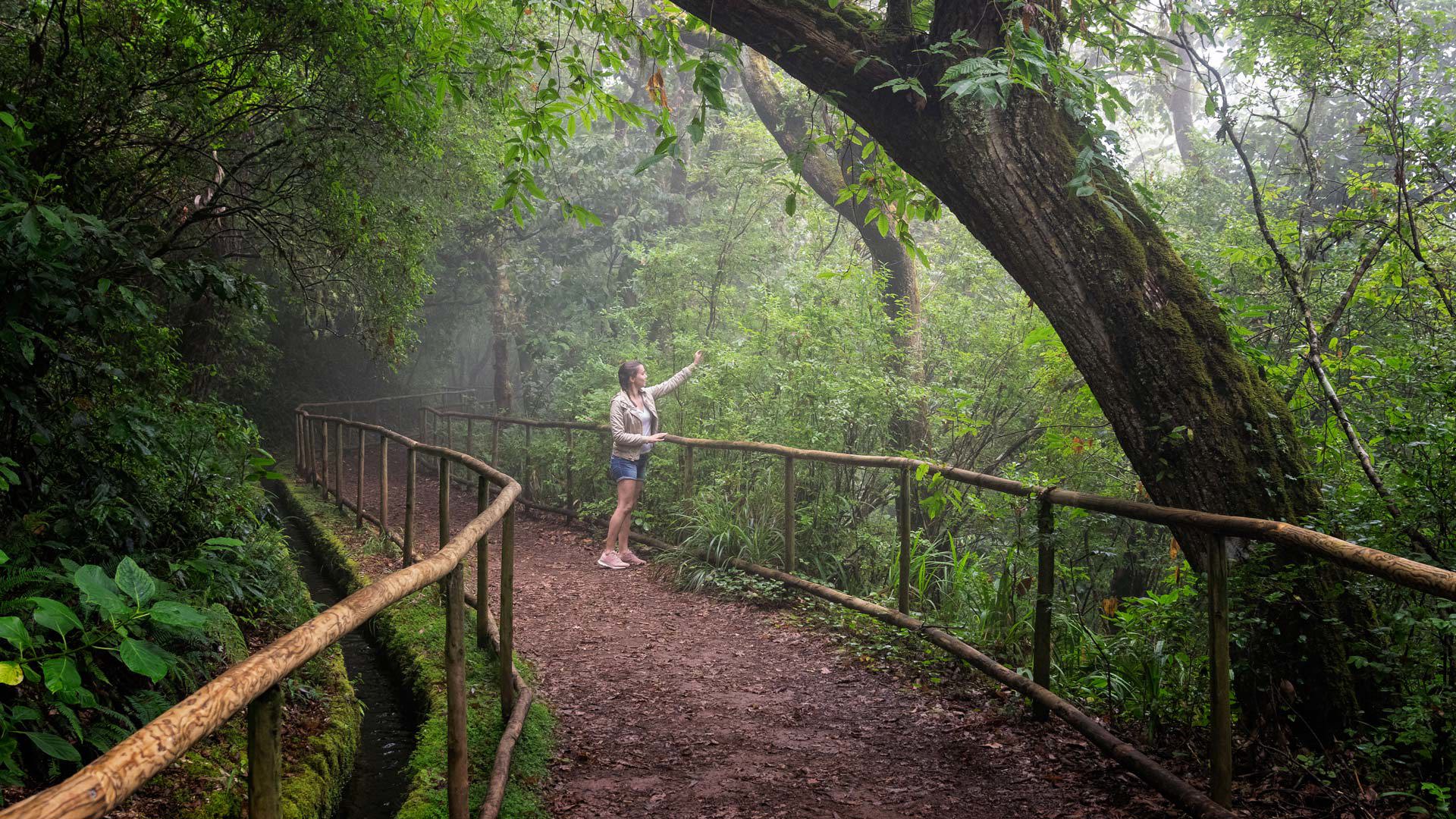
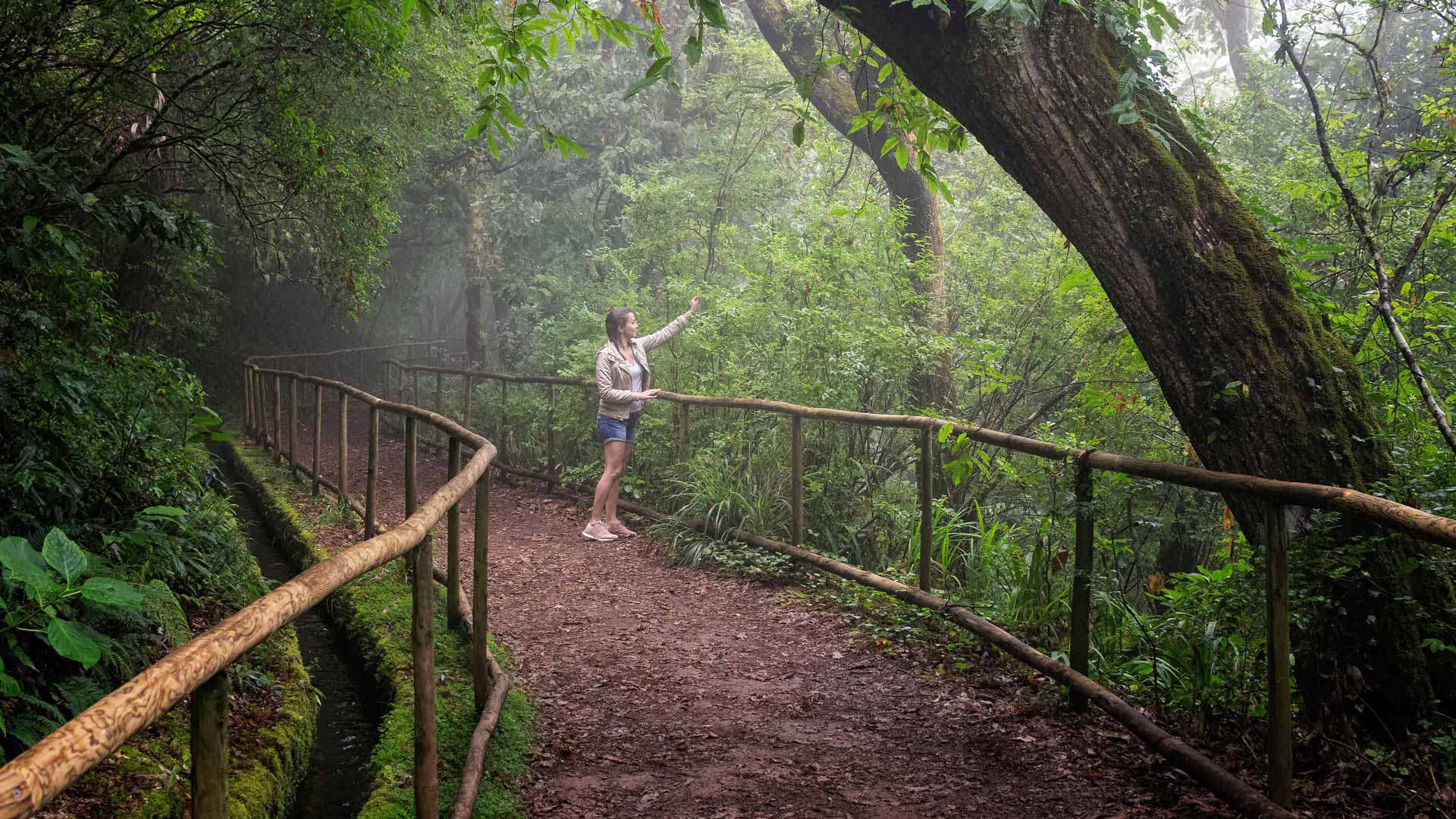
Walking to contemplate
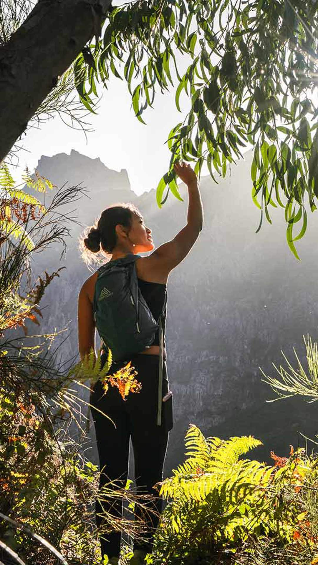
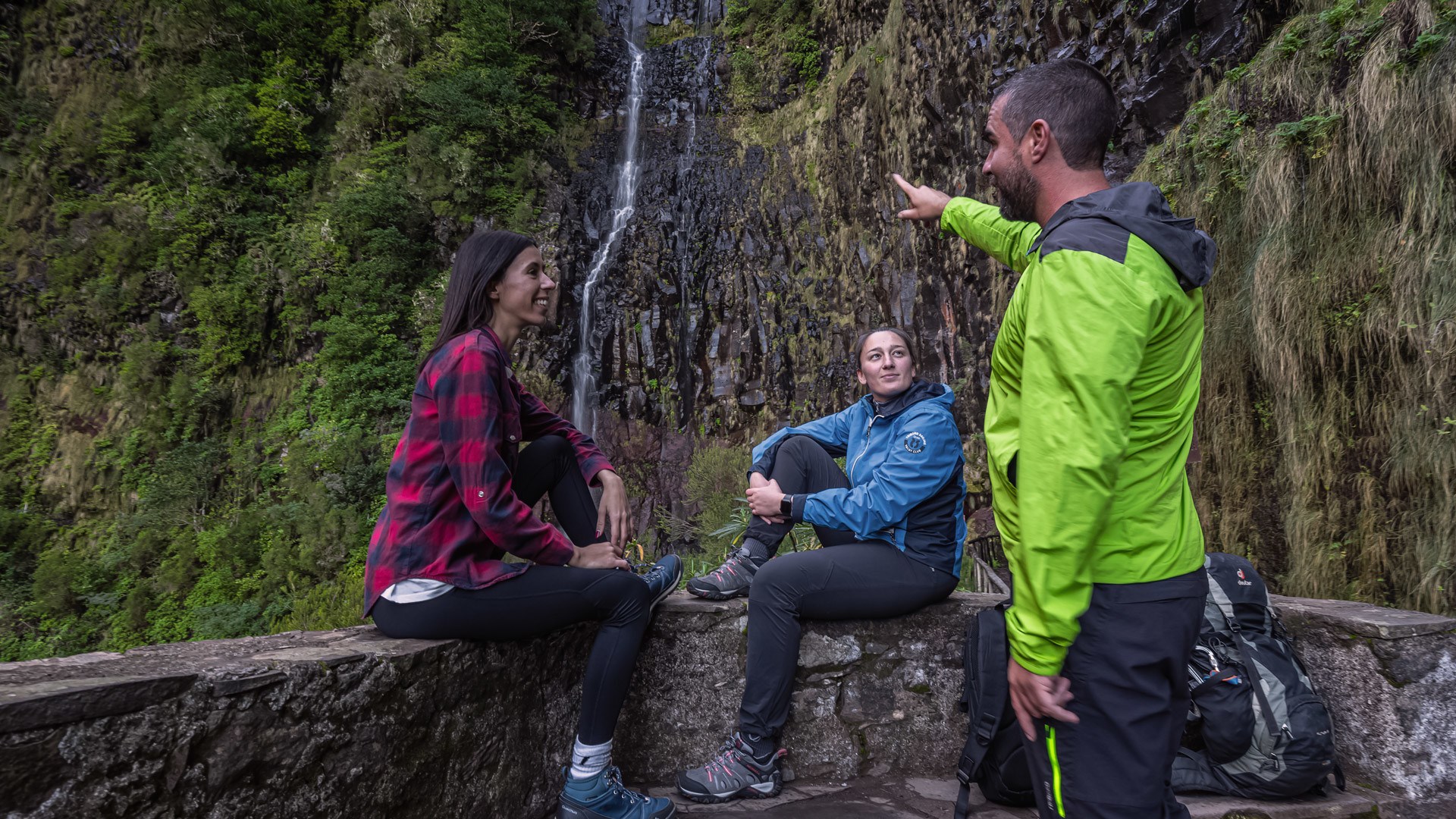
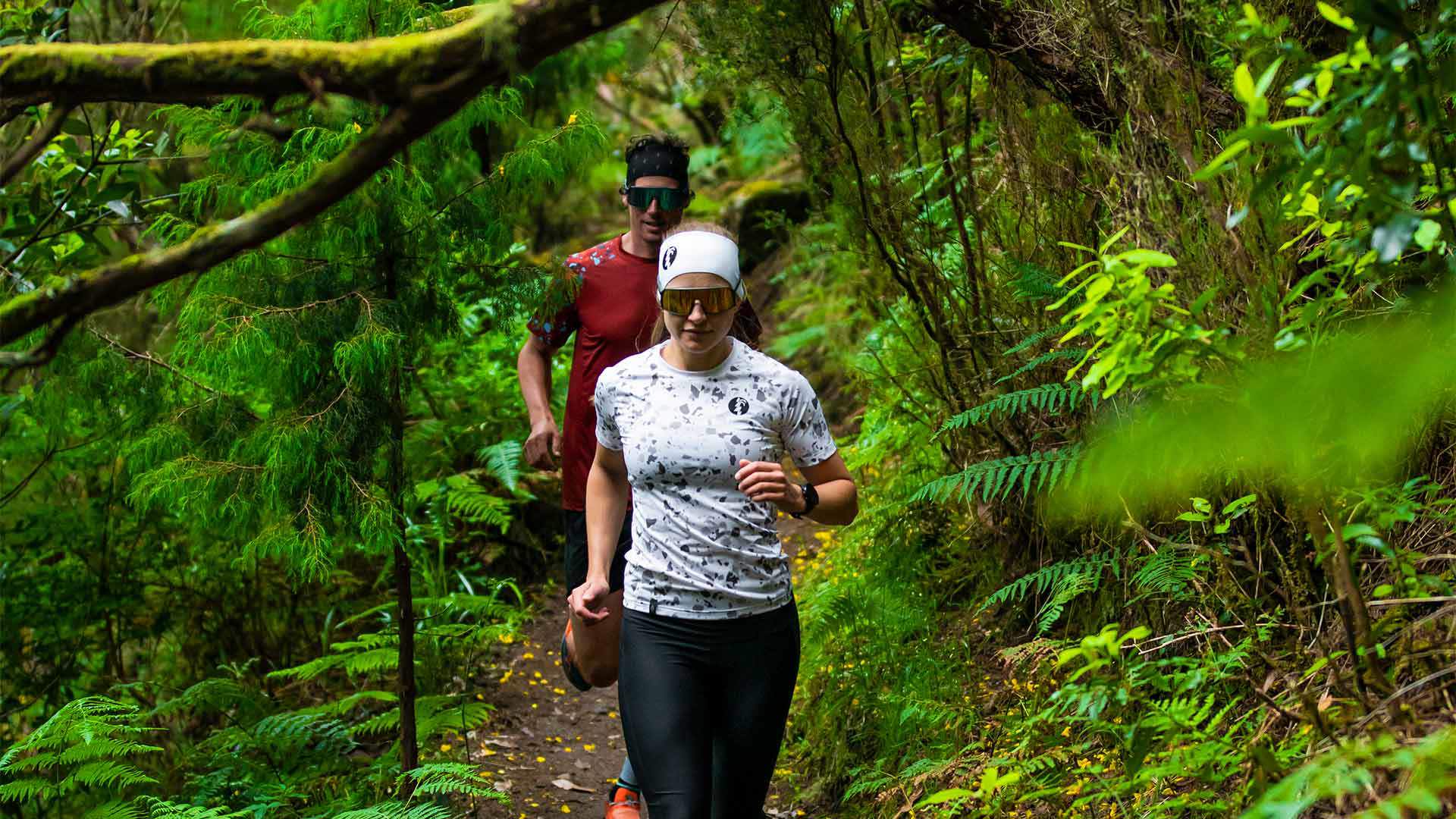
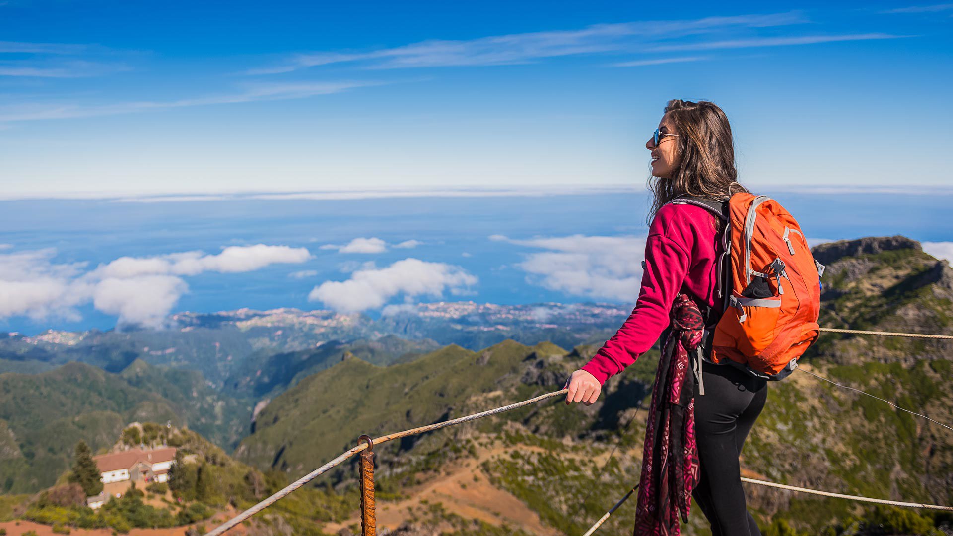
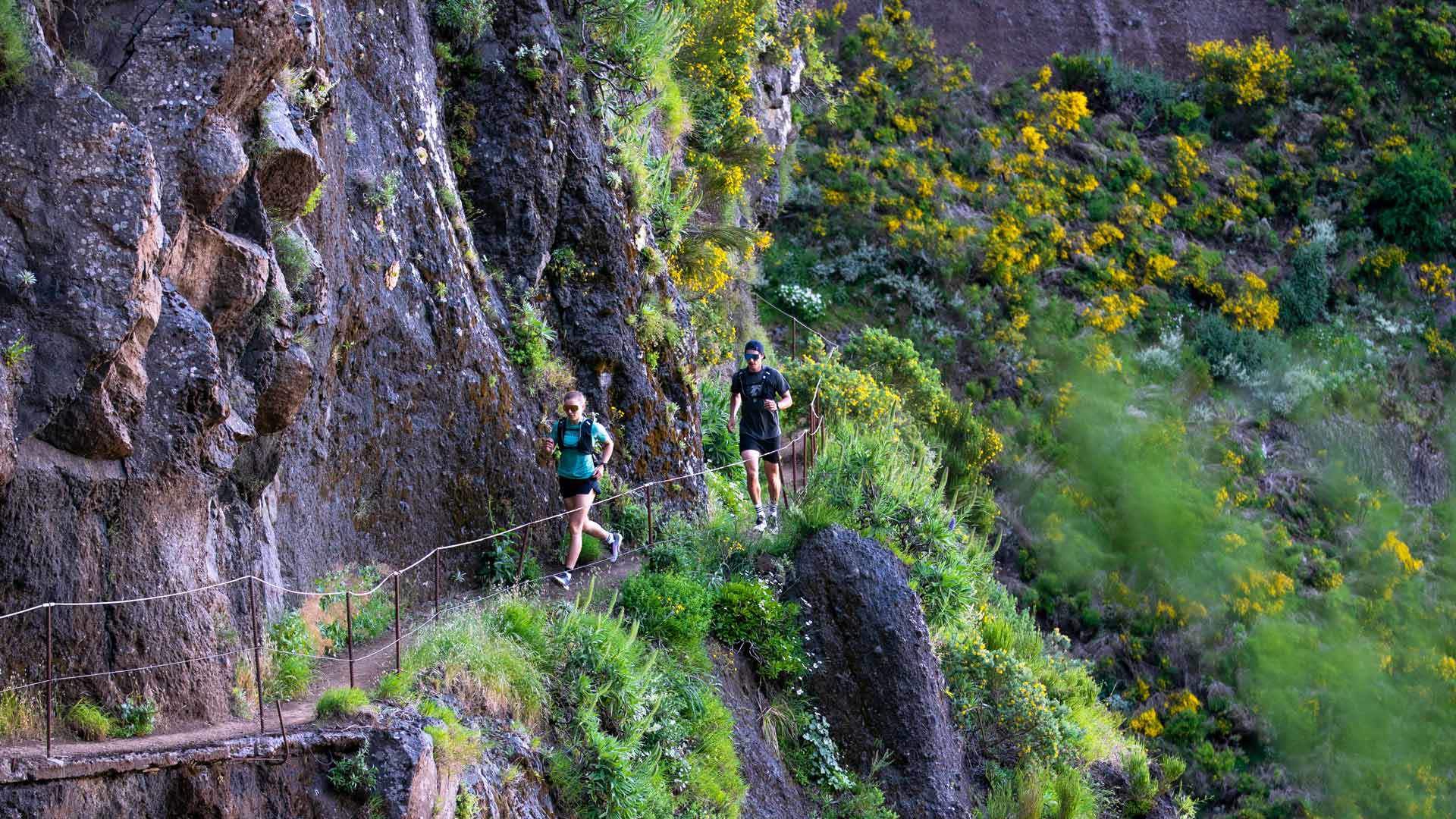
An ideal destination for hiking lovers. Mountains, ocean, green forests, waterfalls and viewpoints: the archipelago's natural wealth makes hiking in Madeira unforgettable and invigorating.
Madeira Hiking
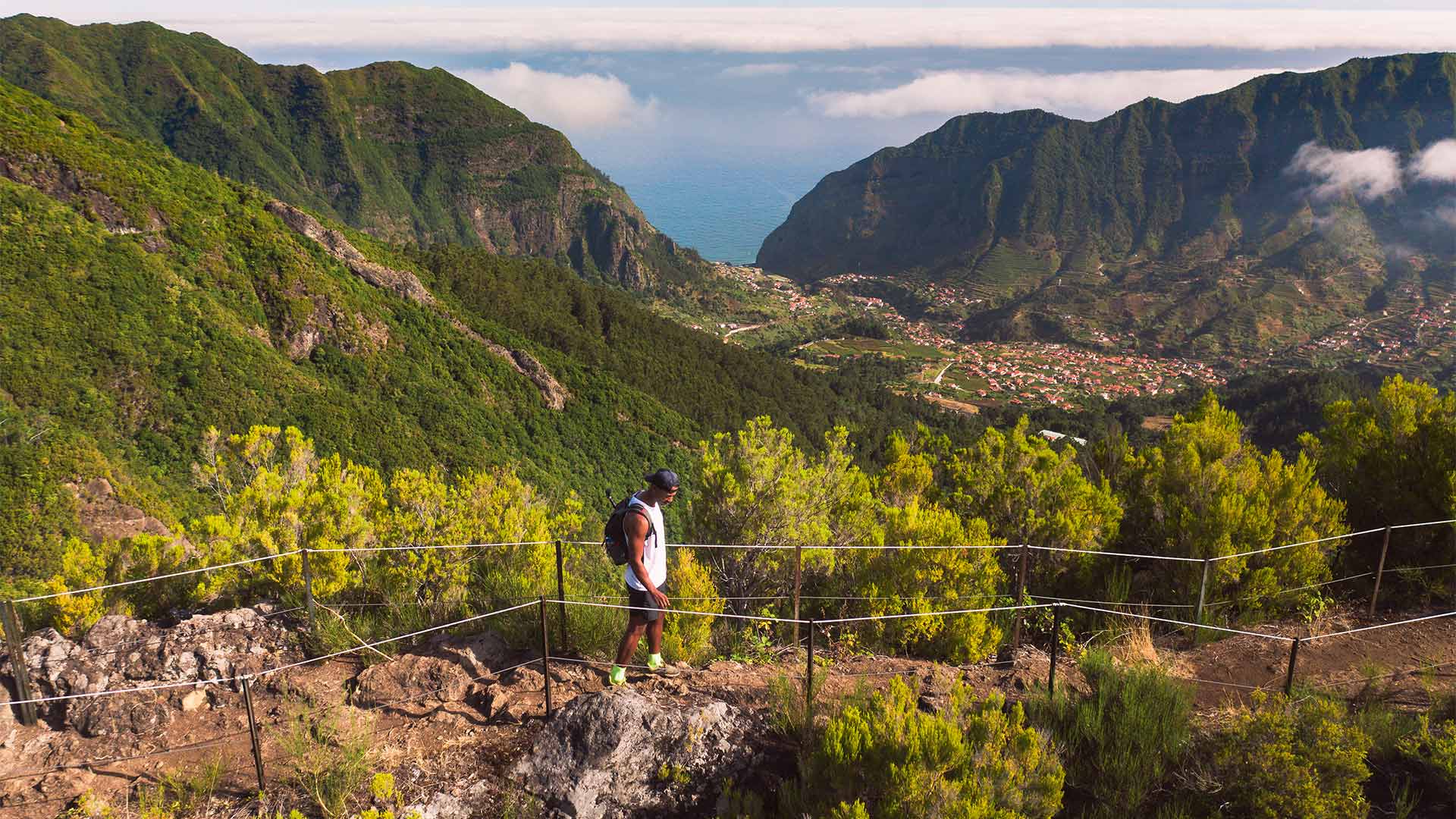
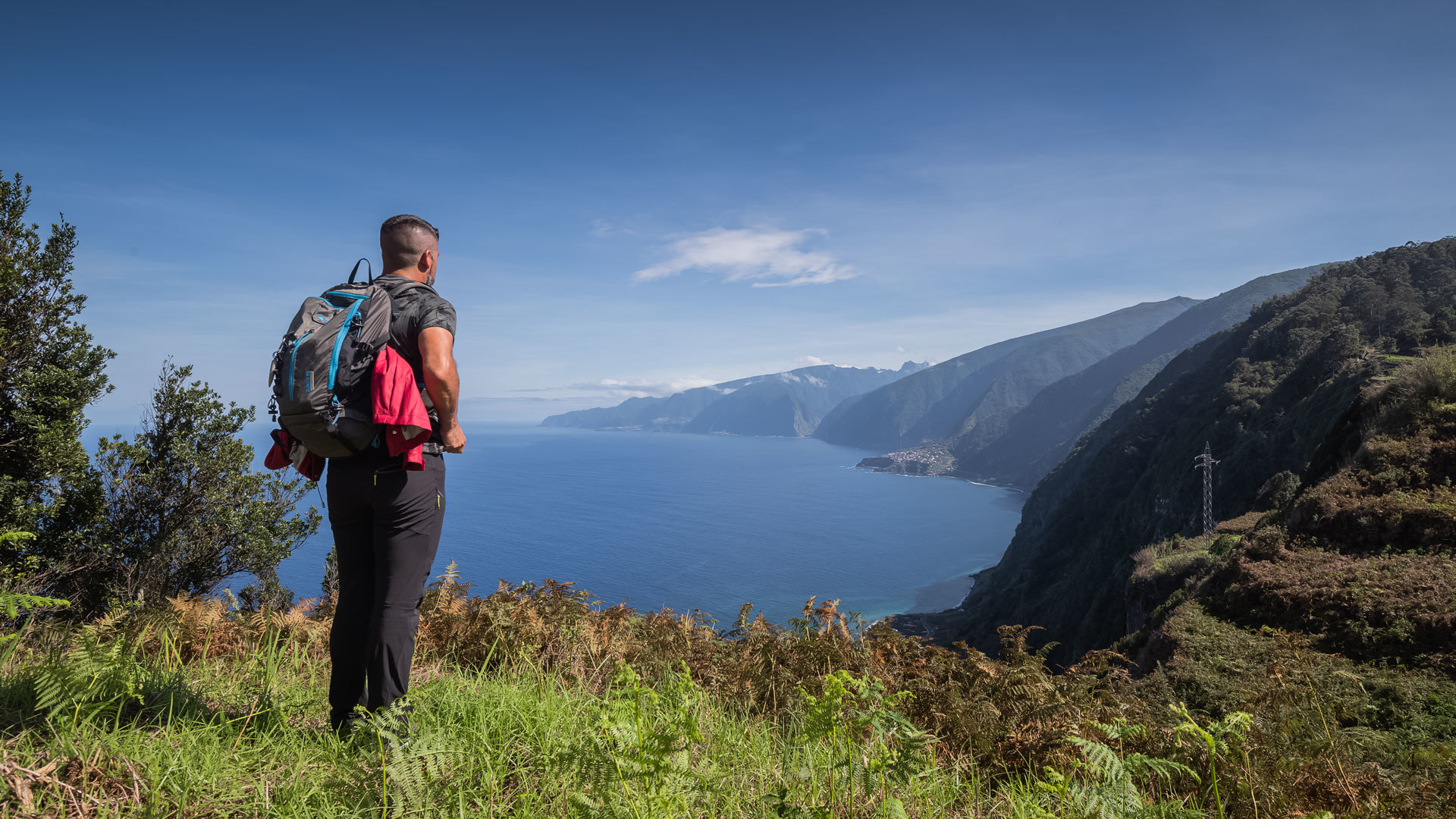
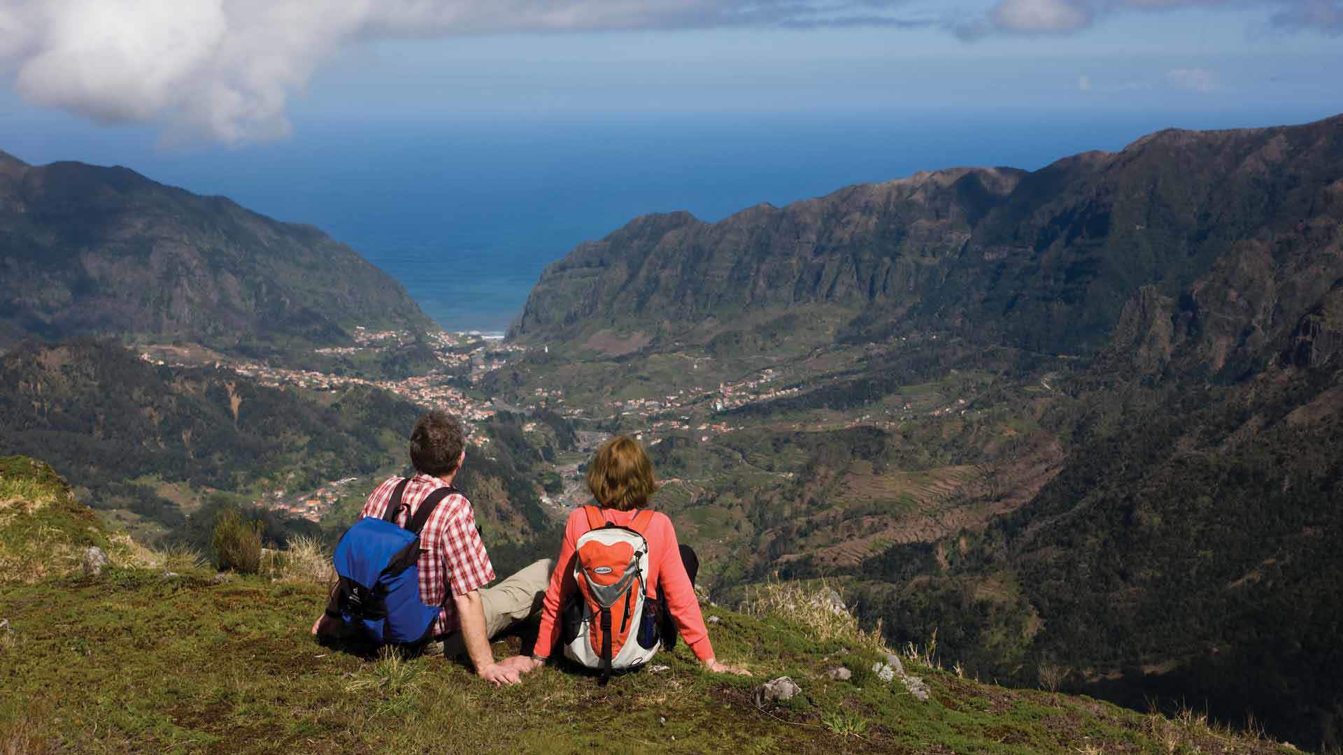
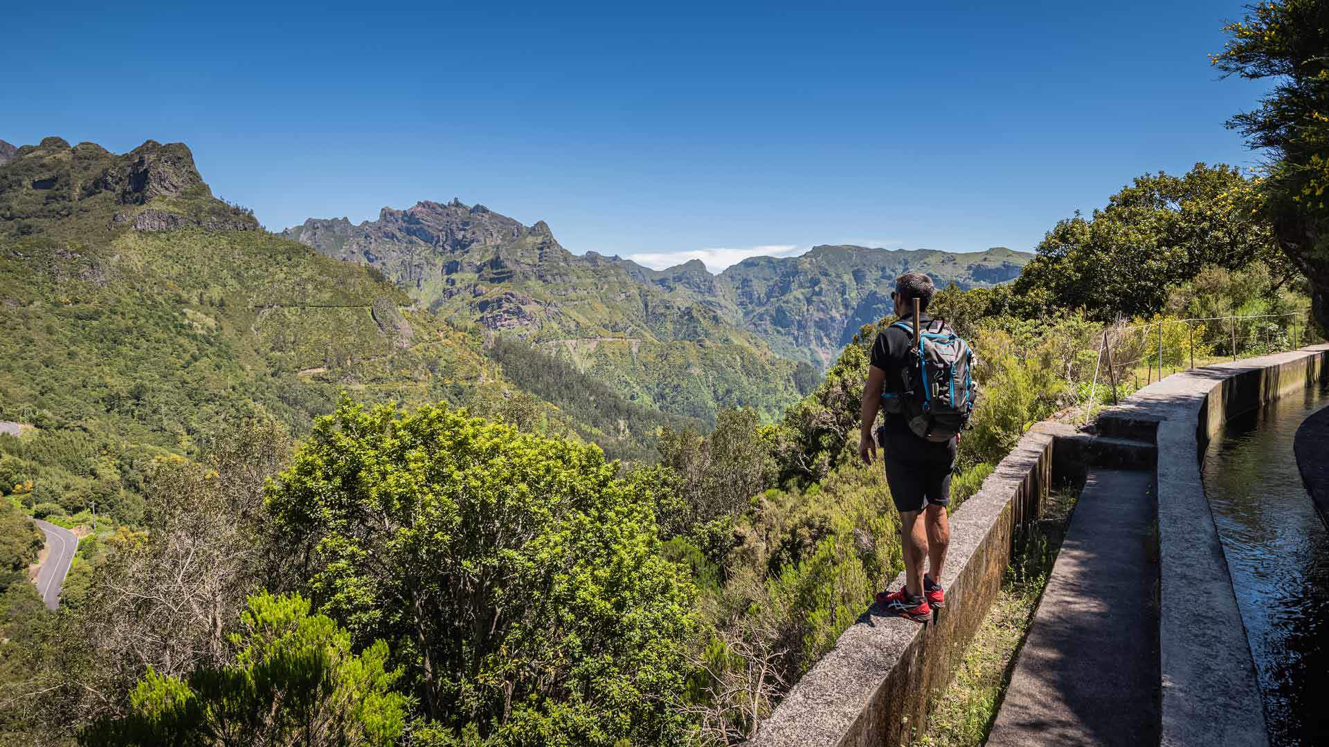
North Coast
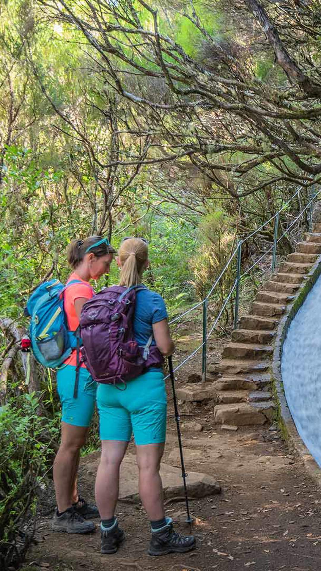
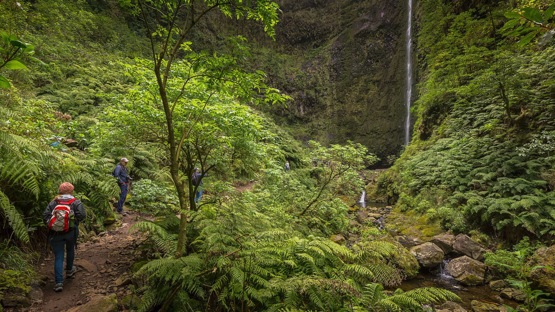
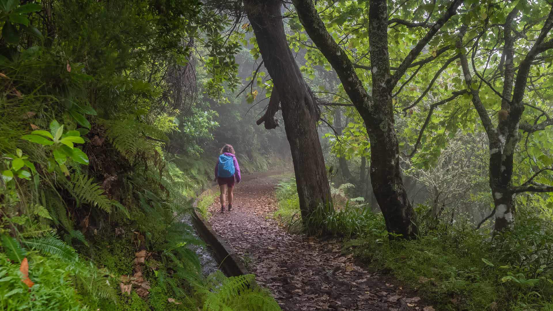
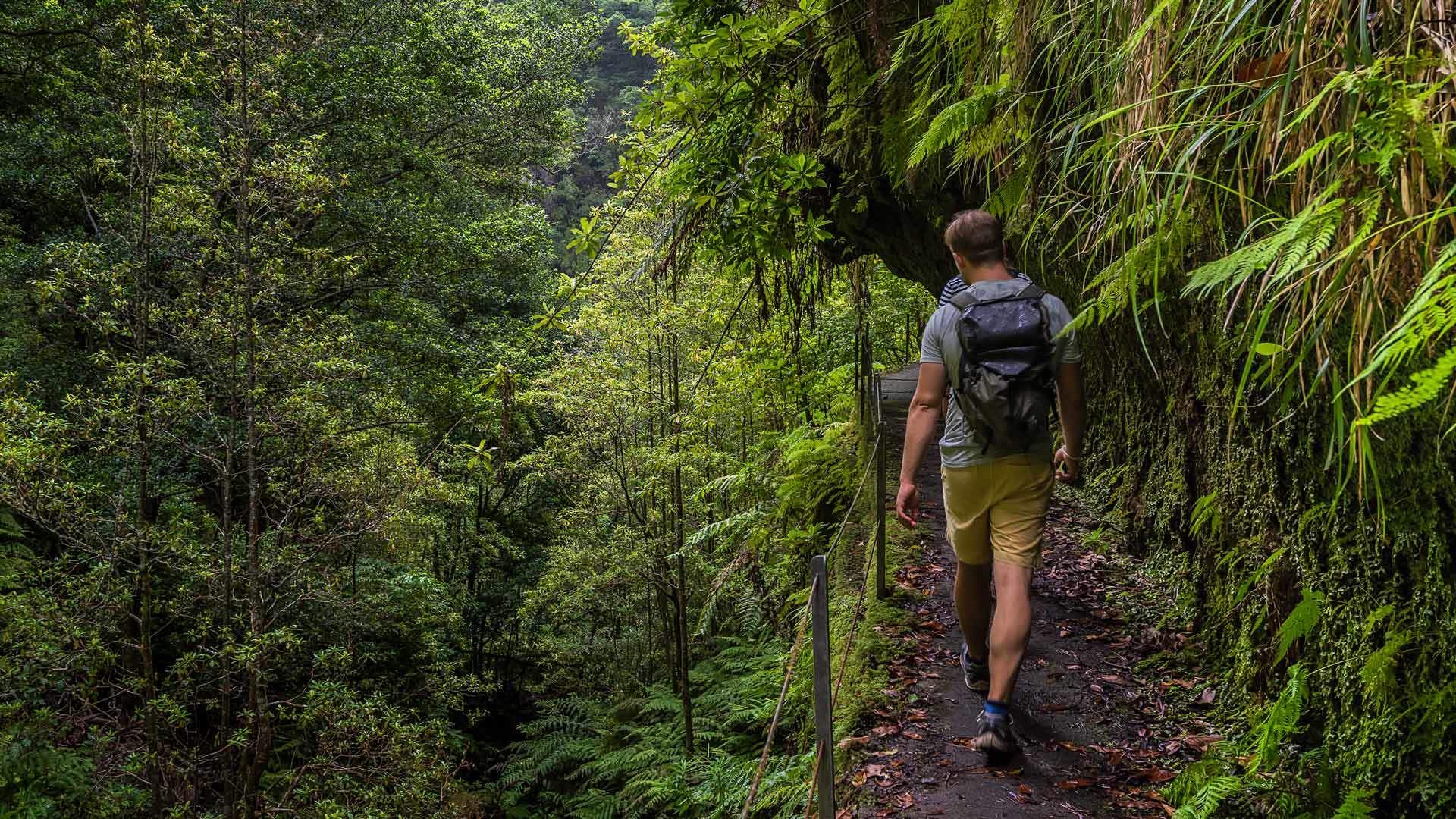
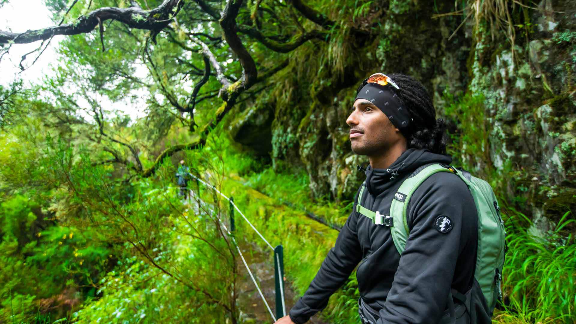
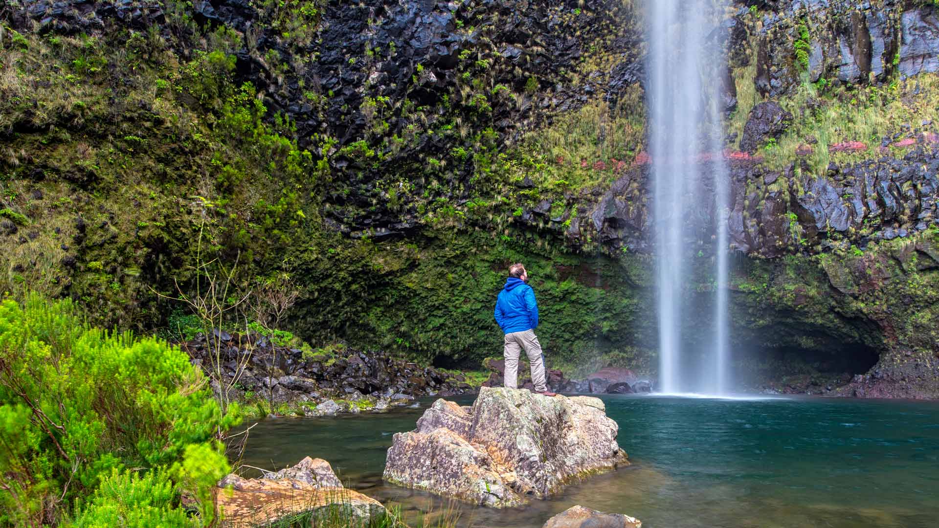
On the north coast, you will find some of Madeira's most beautiful and emblematic 'levadas'. An offer that includes several levels of difficulty, but almost always with the omnipresence of the exuberant Laurissilva.
Hiking
PR 7 - Levada do Moinho
Walking along Levada do Moinho you will have the opportunity to come into direct contact with the richness of Nature and the History of the island.
The Levada do Furado, one of the oldest levadas on the island, allows you to contemplate the various shades of green that make up the Laurissilva forest.
Vereda dos Balcões is a short trail, that takes you to enjoy the views from the Balcões Viewpoint. You will cross paths with indigenous and endemic species.
Following the traces of an old trail used to connect the south and north areas of Madeira, Caminho do Norte leading you to explore the Madeiran forest area.
The trail 'Um caminho para todos' (A path for all, in English) runs along the Levada do Caldeirão Verde terrace, between the Queimadas Forest Park and Pico das Pedras, in the municipality of Santana.
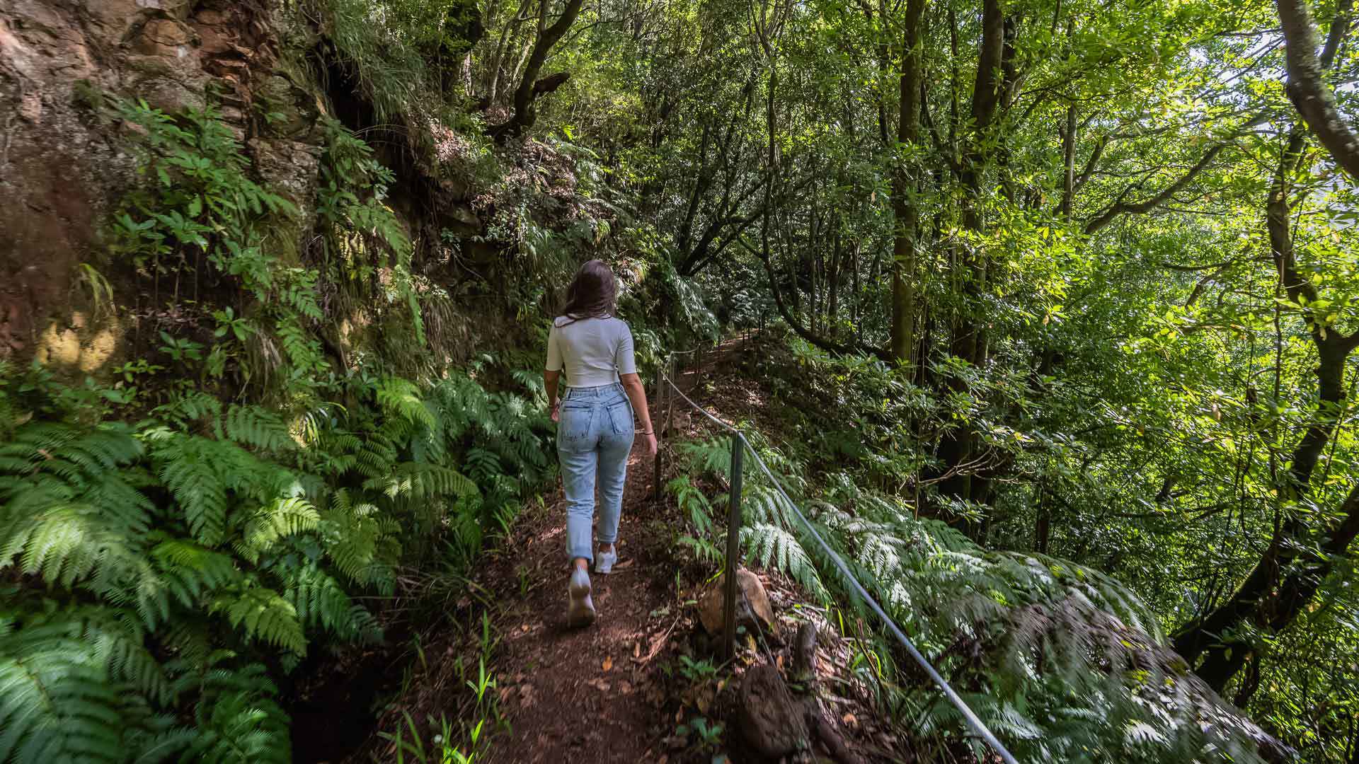
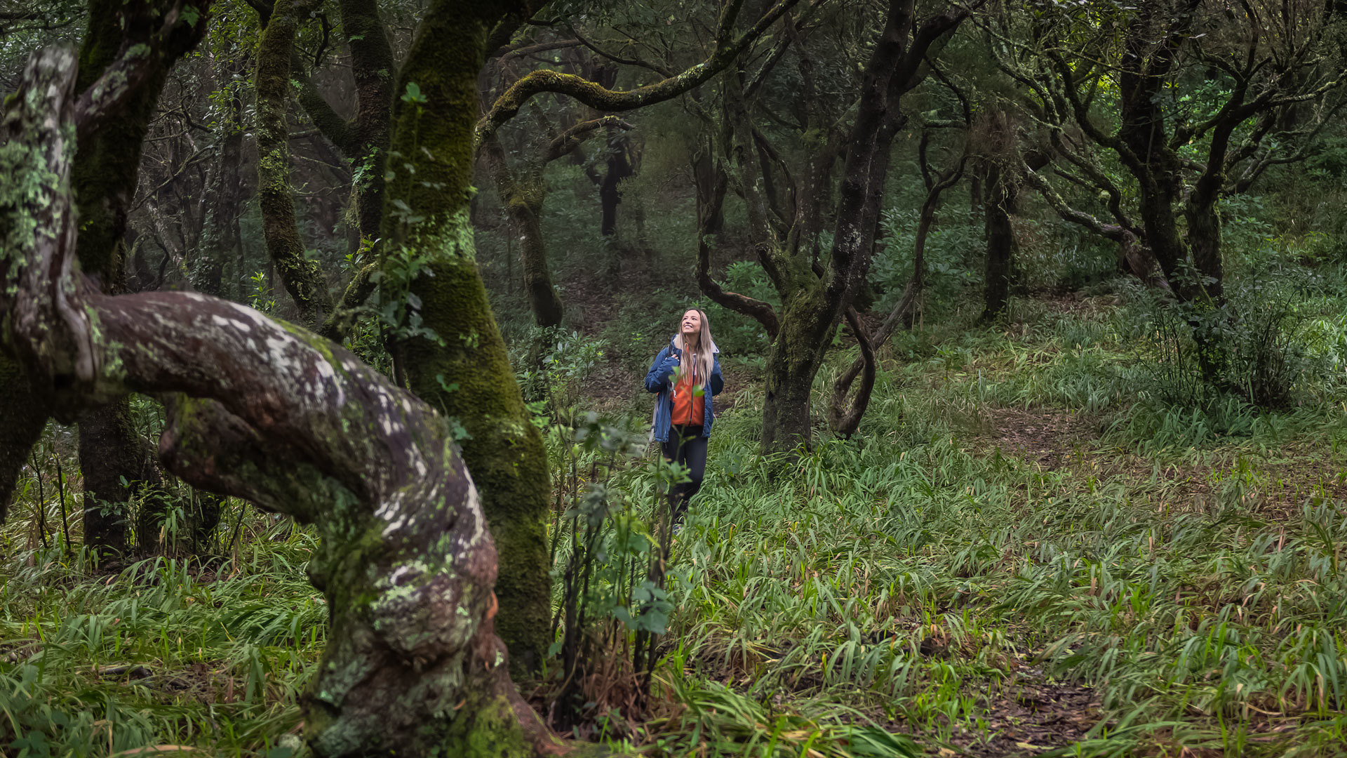
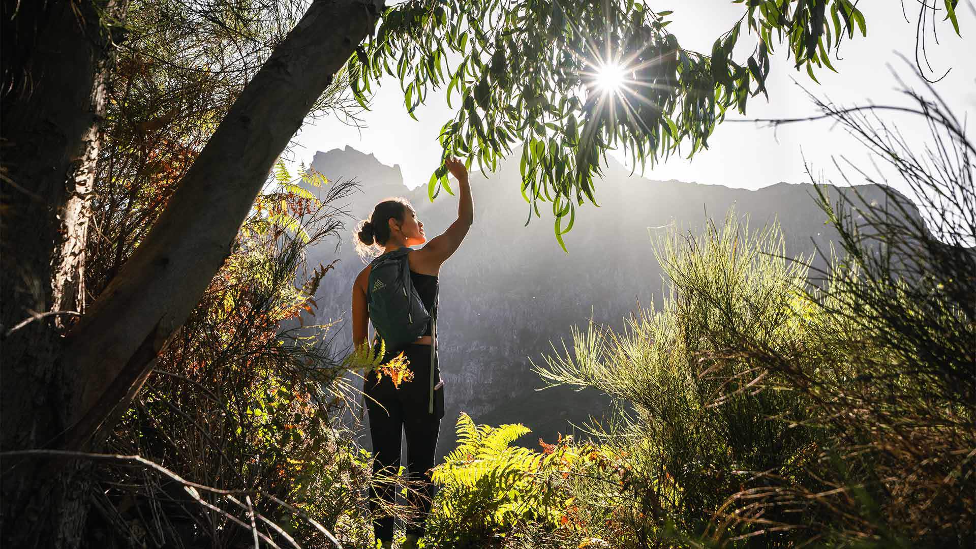
Hiking in Madeira means enjoying the opportunity to explore and interact with Nature, always keeping an eye out for how much there is to discover.
The great diversity of landscapes on these two islands is surprising.
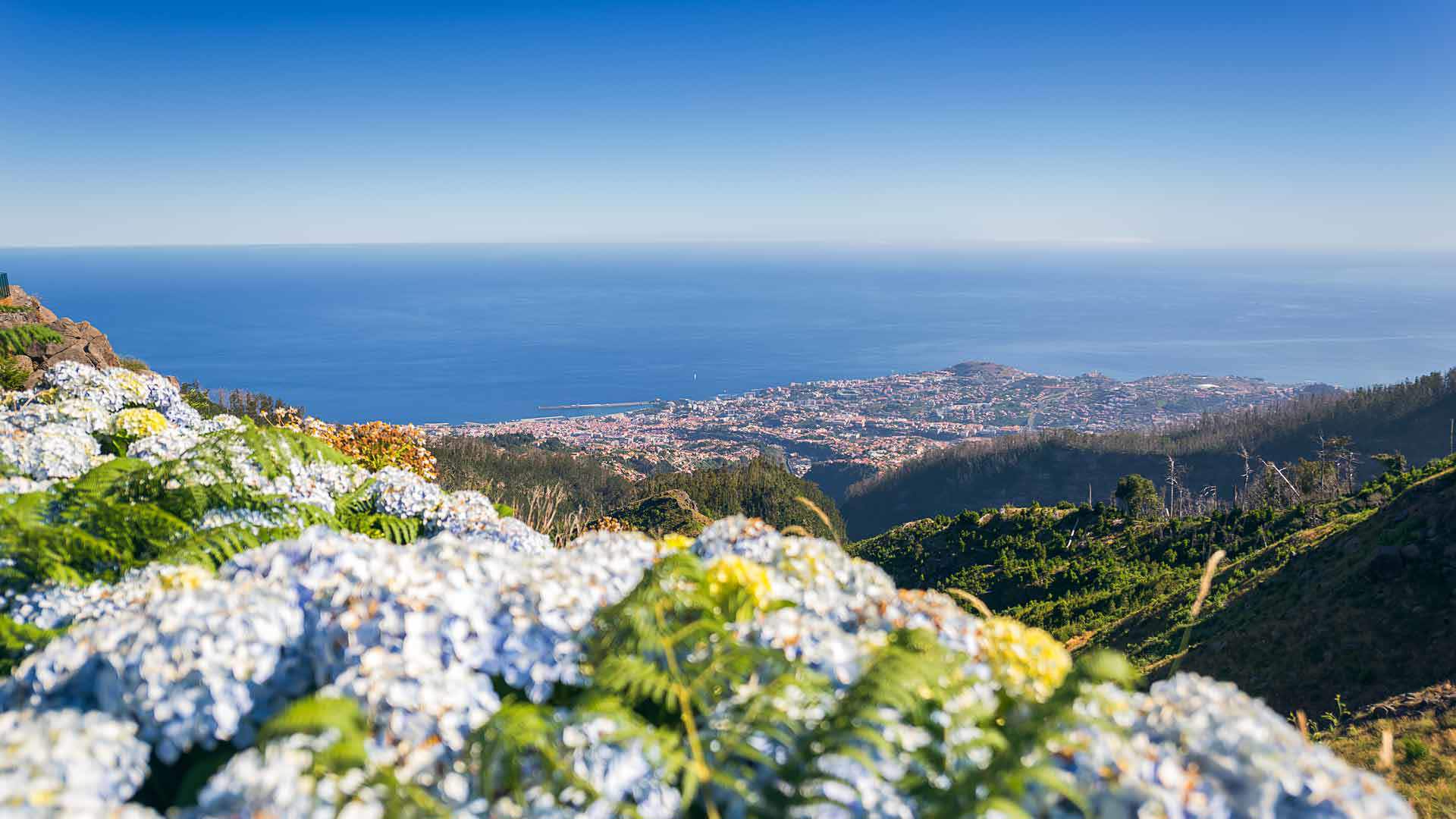
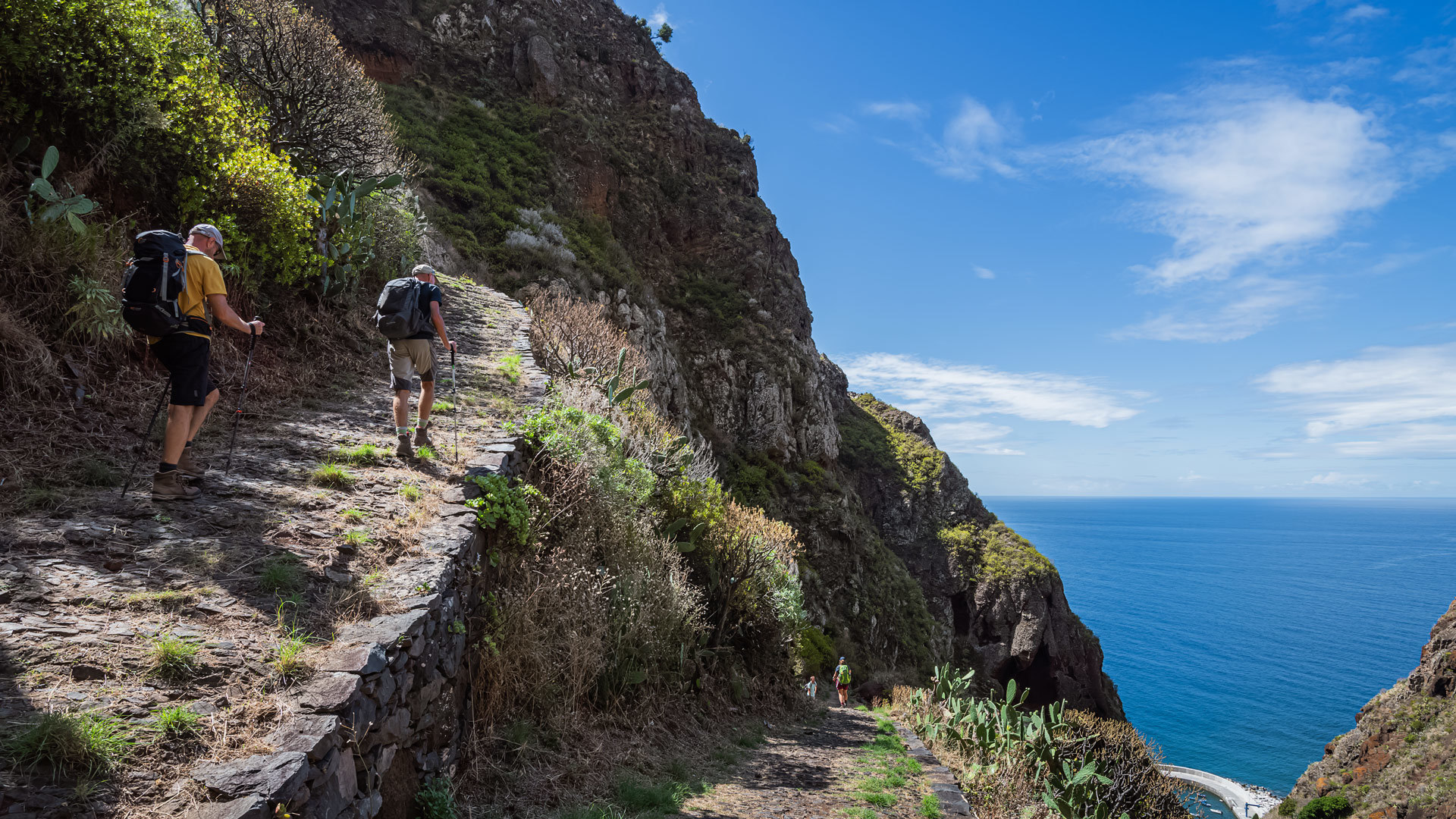
South Coast
Most of the hiking trails along the south coast enjoy breathtaking views over Funchal, and provide moments of encounter and communion with the island's Nature. Discover and follow them.
Hiking
PR 3 - Vereda do Burro
The Vereda do Burro trail is easy and connects Pico do Areeiro to the Funchal Ecological Park Welcome Centre. With a length of 7.2 km.
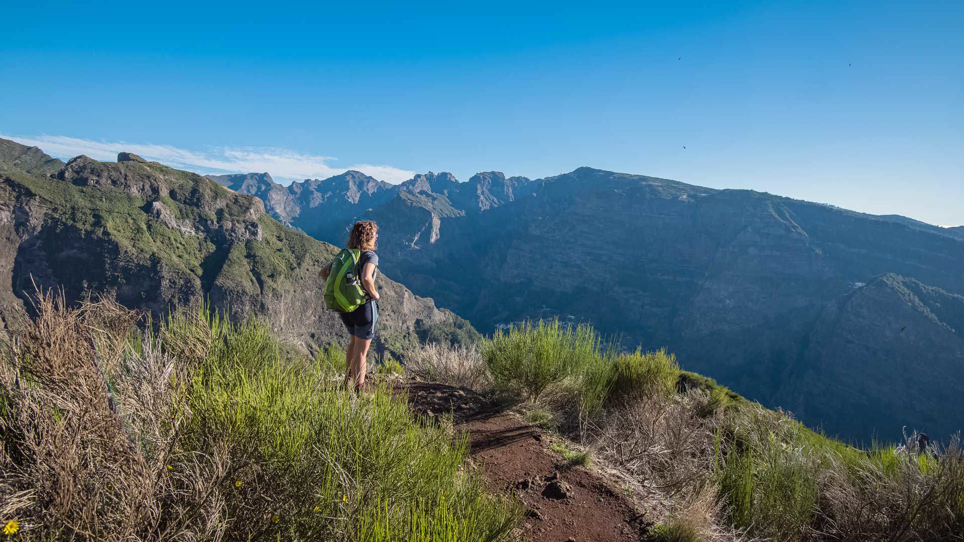
The hiking trails can take you to the most hidden nooks in the mountains (sometimes even above the clouds), or to coastal areas.
Between waterfalls and streams, cliffs and crags, subtropical forests and viewpoints overlooking the Mountain Massif or the ocean, the surprises we are treated to while hiking in Madeira are presented to us at every step.
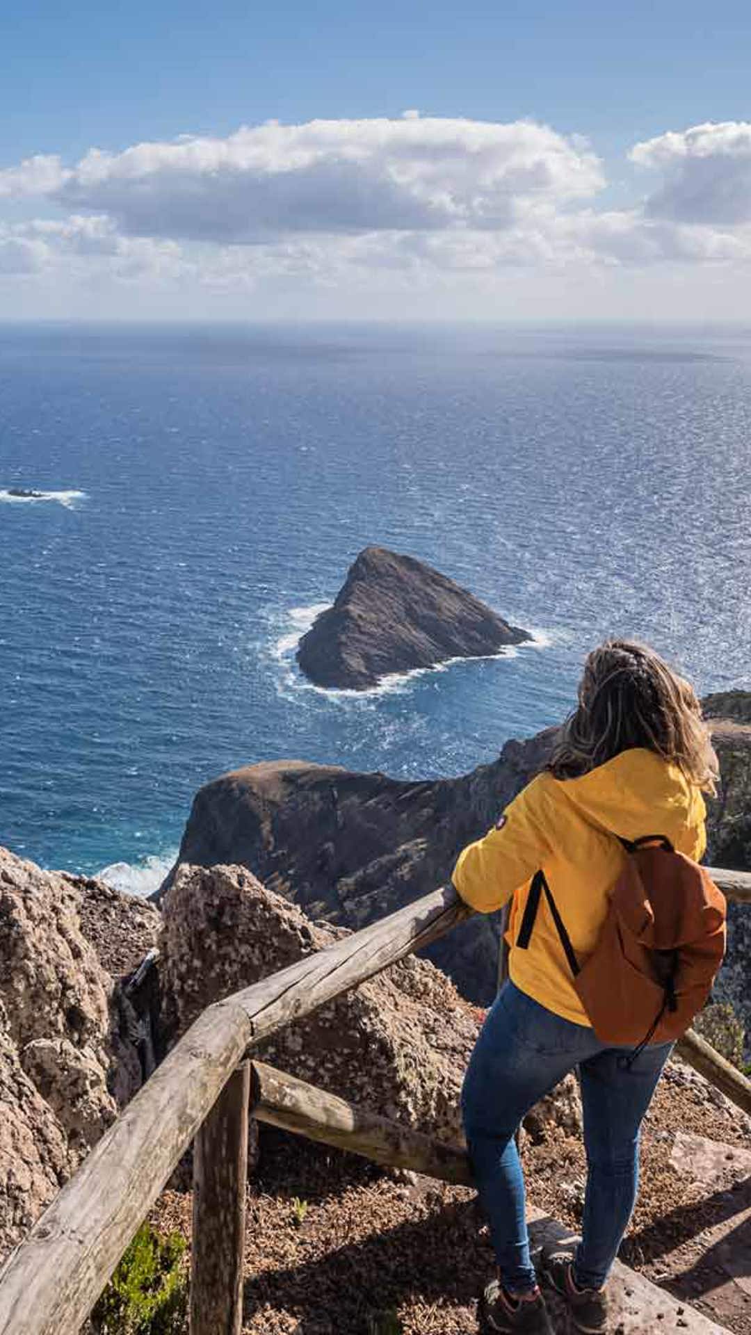
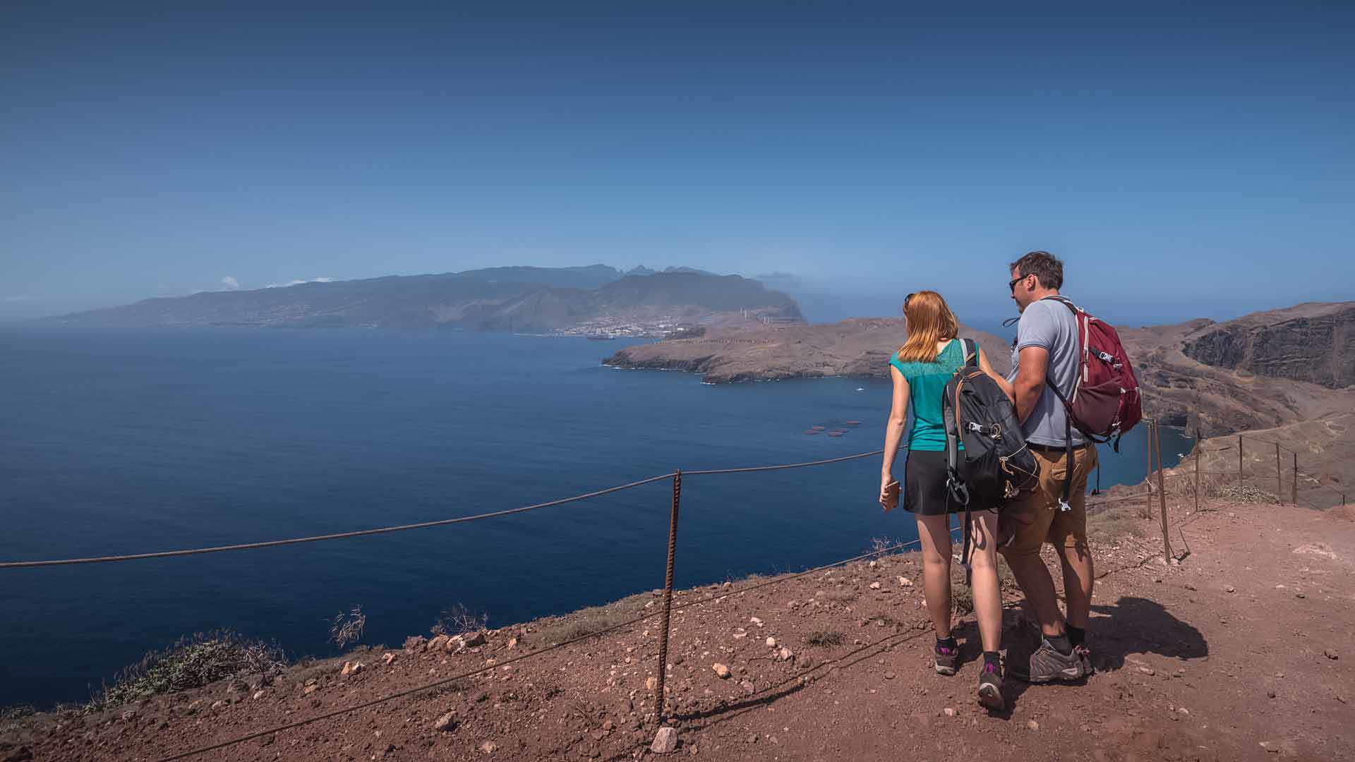
East Coast
Madeira's morphological characteristics and its network of trails mean that you can walk through places with varied surroundings, in coastal and forested areas. Discover the east coast trails.
Hiking
PR 5 - Vereda das Funduras
Vereda das Funduras - This 8.7 km trail, which takes about 3 hours, begins with a breathtaking view from the Portela Viewpoint.
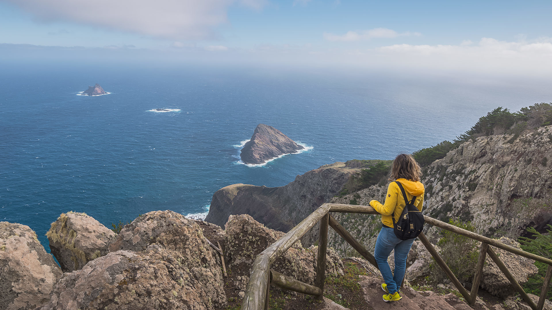
Vereda da Ponta de São Lourenço - This trail will take you to discover the eastern tip of the island, with panoramic views over the north and south sides.
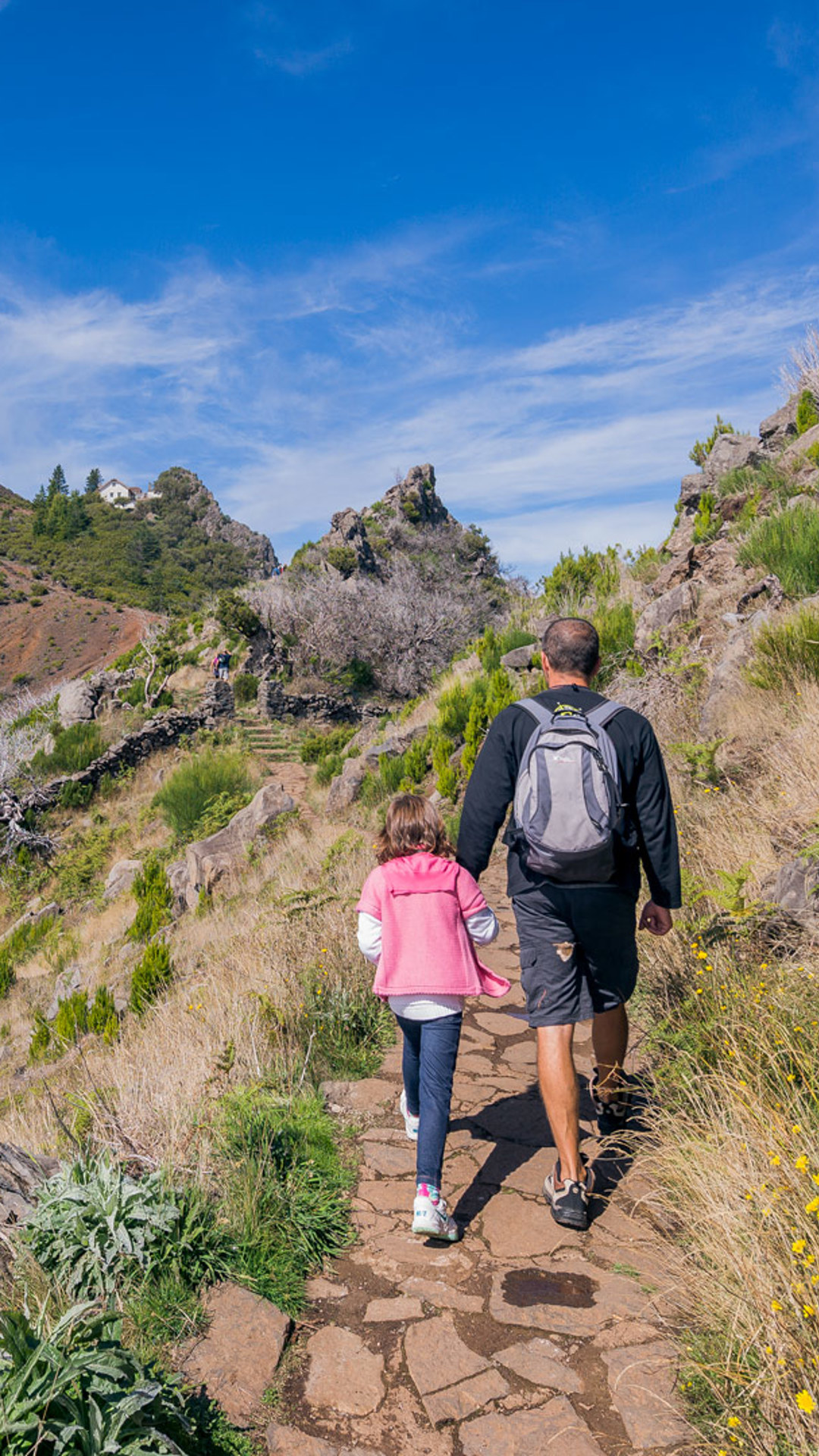
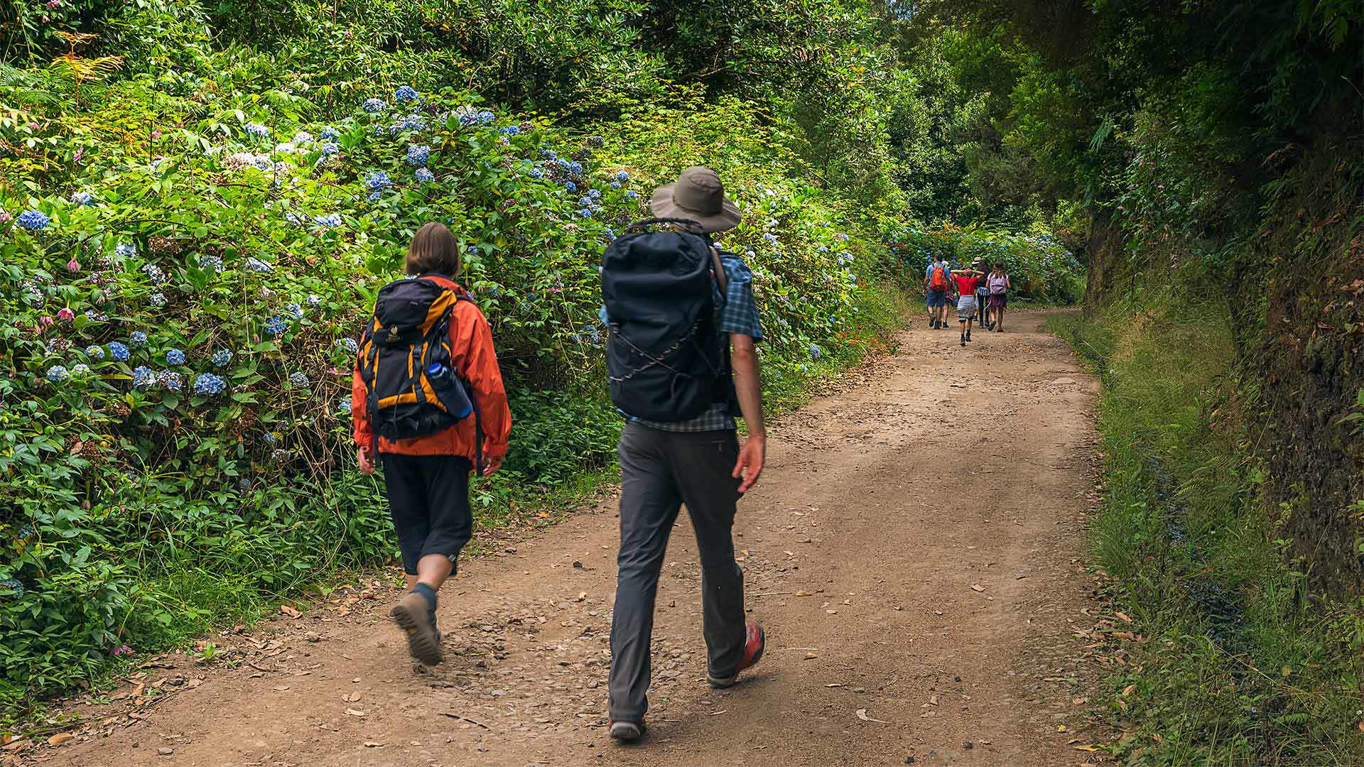
There are trails for all preferences and all paces.
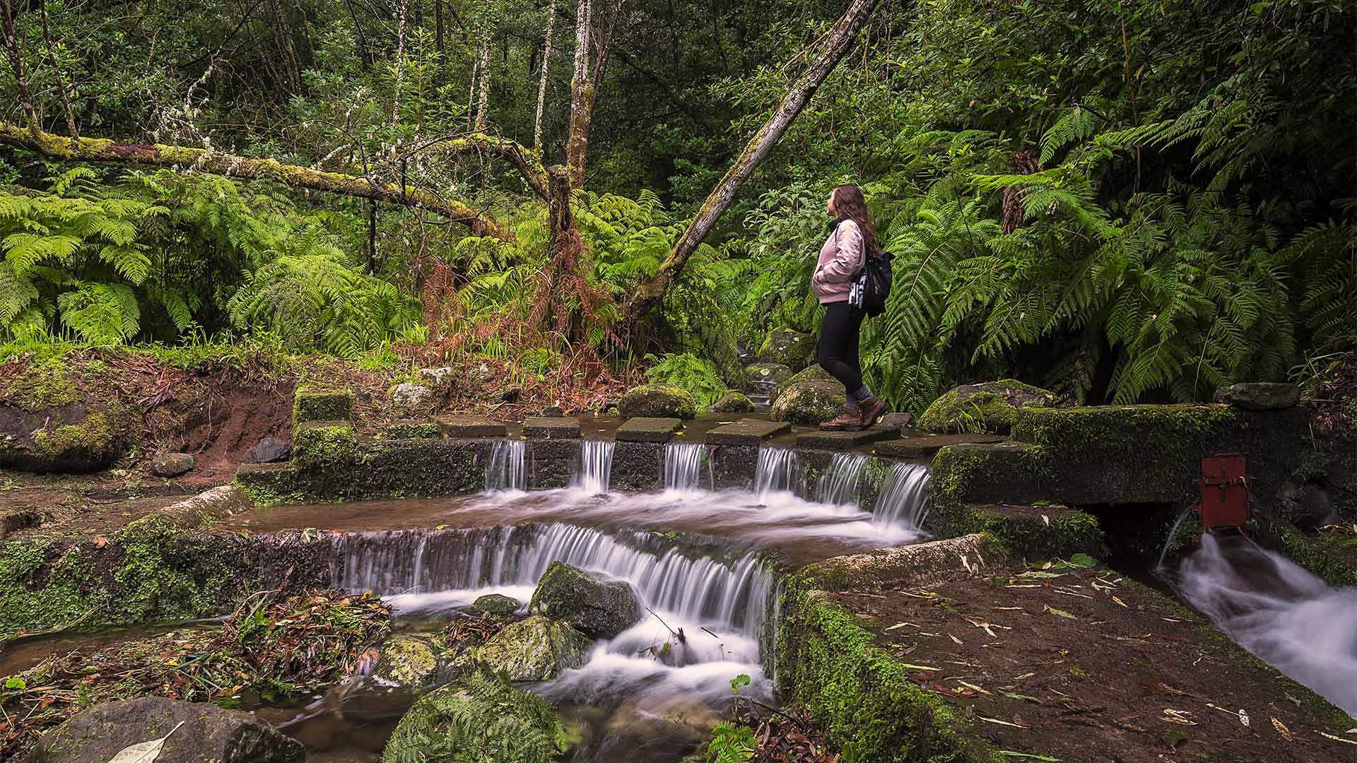
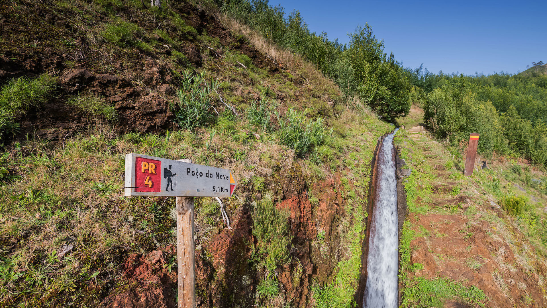
This means that anyone, of any age, can have the experience of exploring the trails and 'levadas' (the name given to the paths parallel to the irrigation channels that carry fresh water from the very humid northern mountains to the drier south).
There are dozens of trails, hundreds of kilometres and countless sceneries to enjoy while hiking in Madeira.
West Coast
The west coast of Madeira hides some of the most breathtaking sceneries with trails and routes that cater for those who just want to stroll along as well as those who are looking for a bit of adventure. Explore them.
Hiking
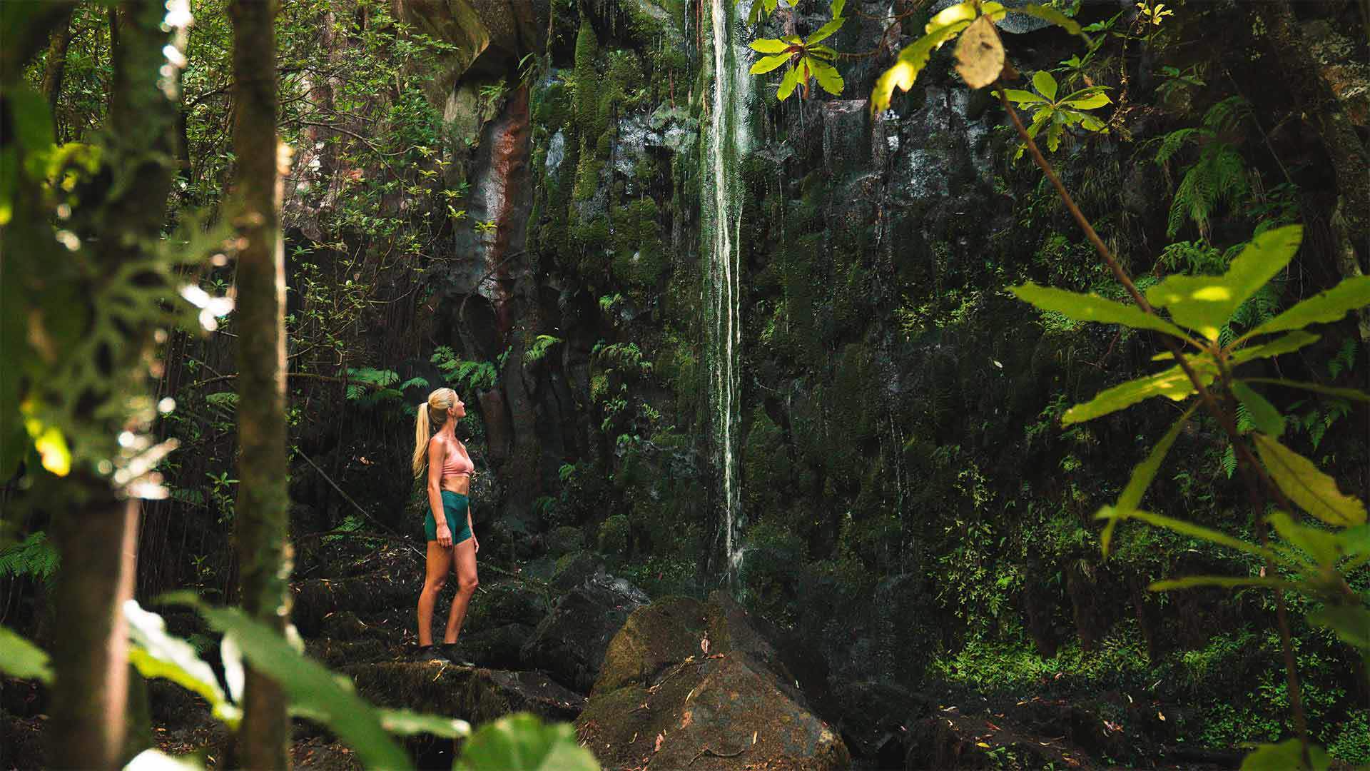
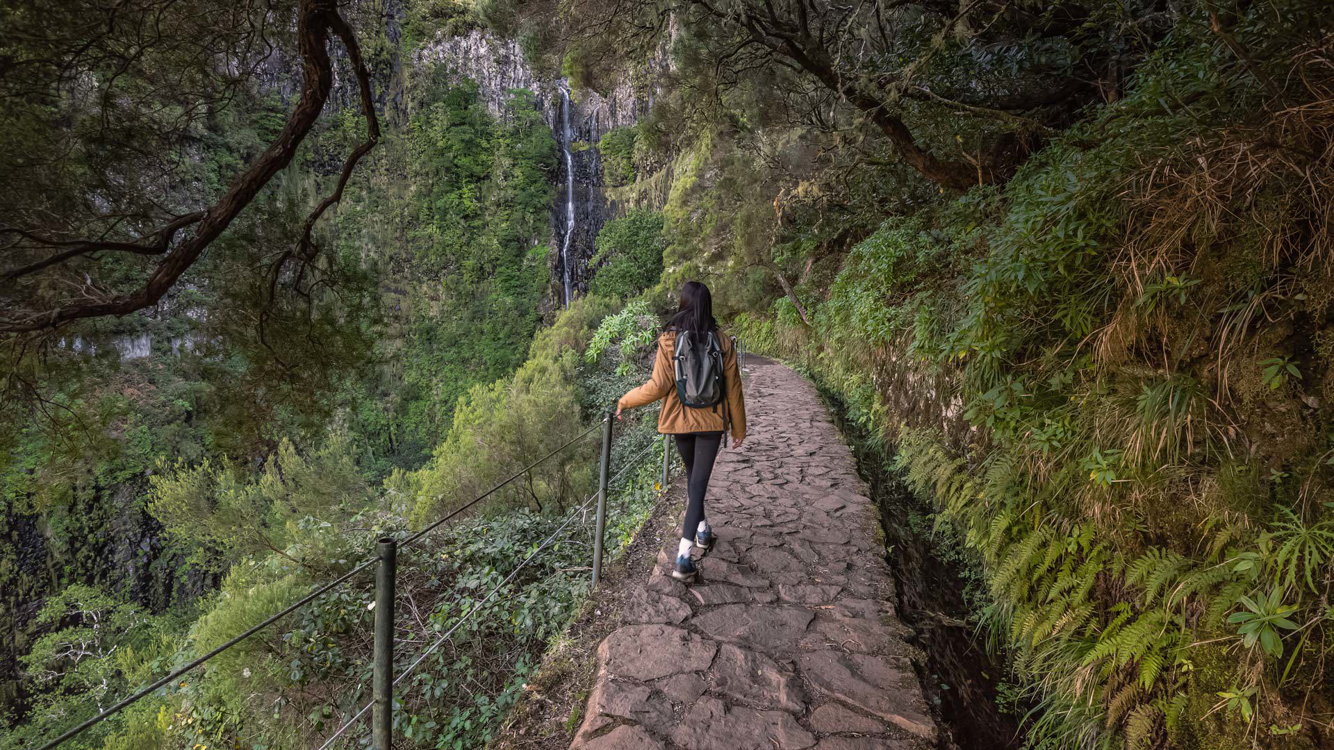
PR 6 - Levada das 25 Fontes
The Levada das 25 Fontes is one of the most popular trails among tourists and locals. With 4.3km, this trail surprises by the exuberance of nature.
If you are going to walk along a trail or 'levada', remember that you must do so safely and be reachable, with suitable equipment and company.
Furthermore, when hiking in Madeira there are fundamental rules of conduct: remain in the trail and carefully respect the fauna and flora.
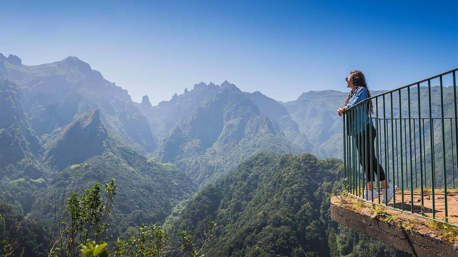
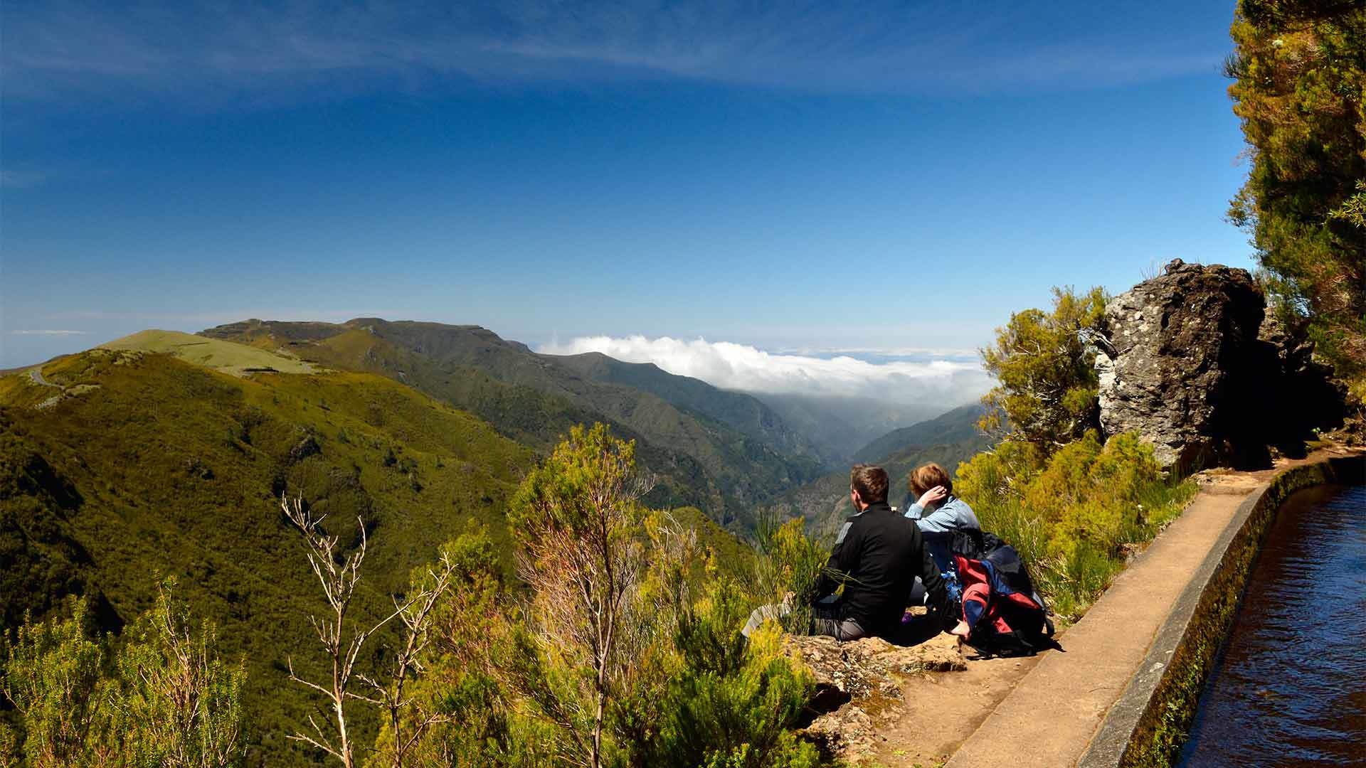
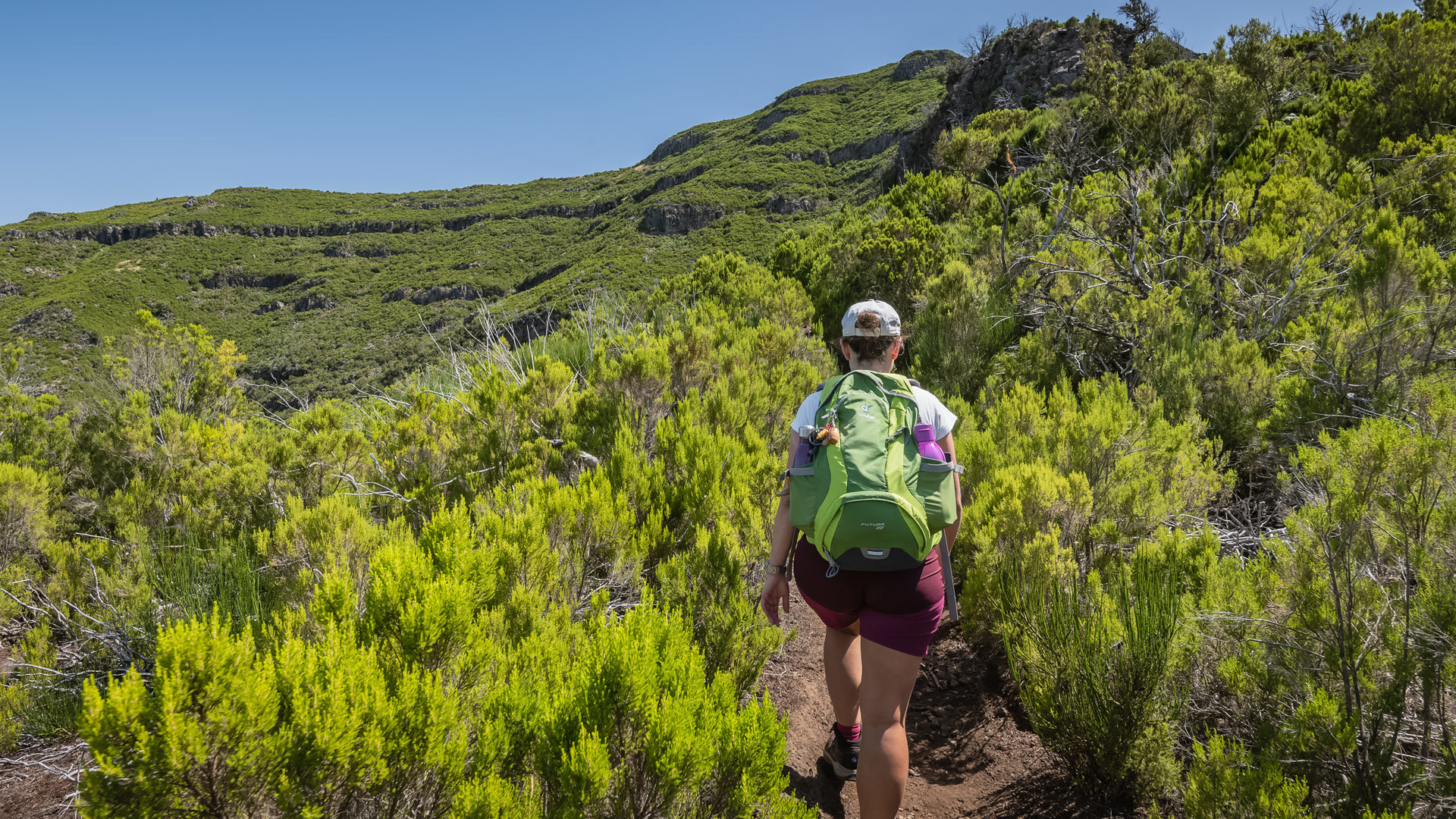
Central Mountain Range
Madeira's central mountain range is located at an altitude of more than 1400 metres, and includes Pico Ruivo and Pico do Areeiro, as well as the Paul da Serra plateau.
Hiking
PR 1 - Vereda do Areeiro
Vereda do Areeiro is a trail connecting three iconic spots in Madeira - it begins at Pico do Areeiro, crosses Pico das Torres and ends at Pico Ruivo.
The Vereda do Pico Ruivo provides a clear view over the central mountainous massif and several other points of interest. It's the highest point in Madeira.
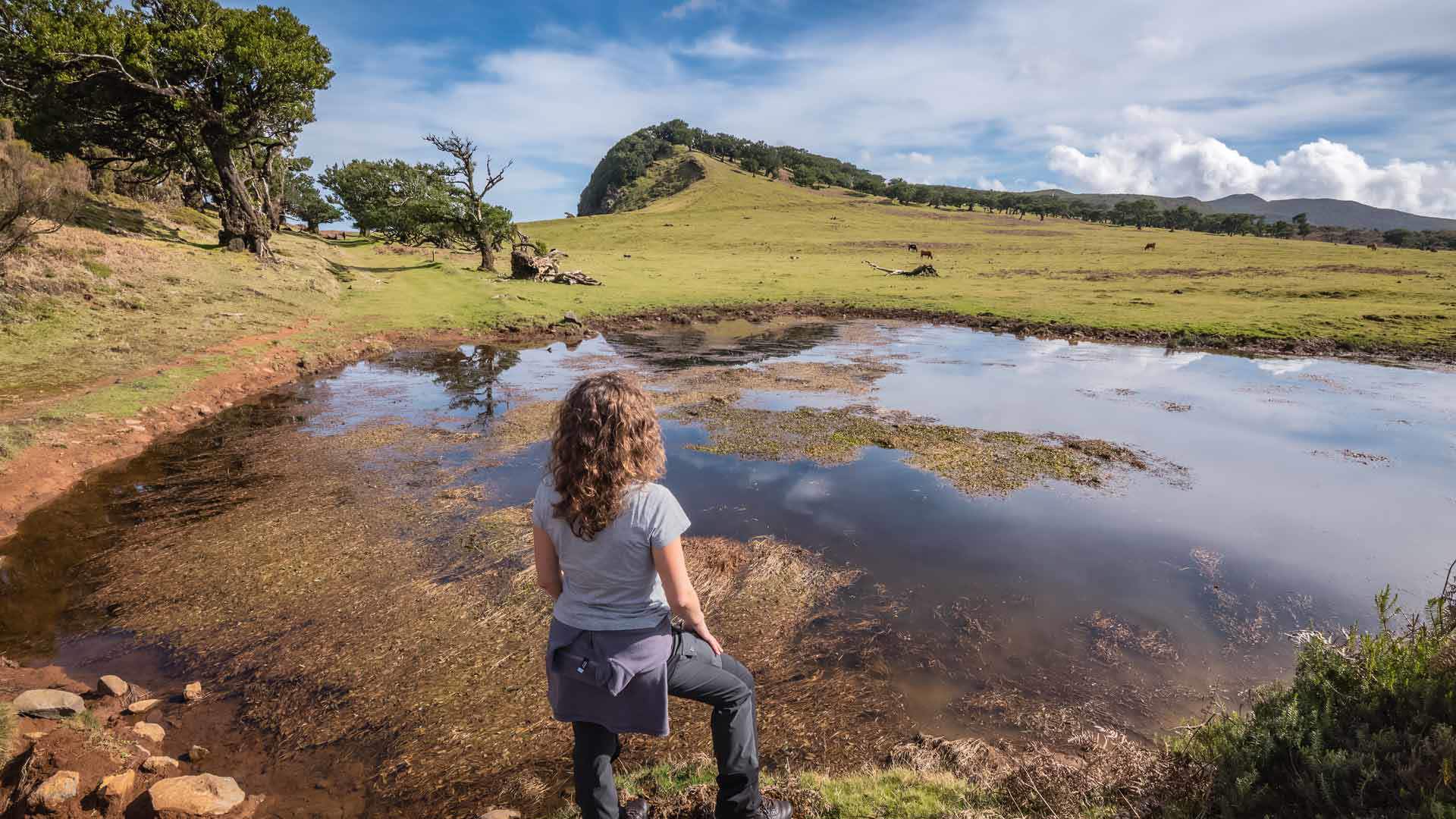
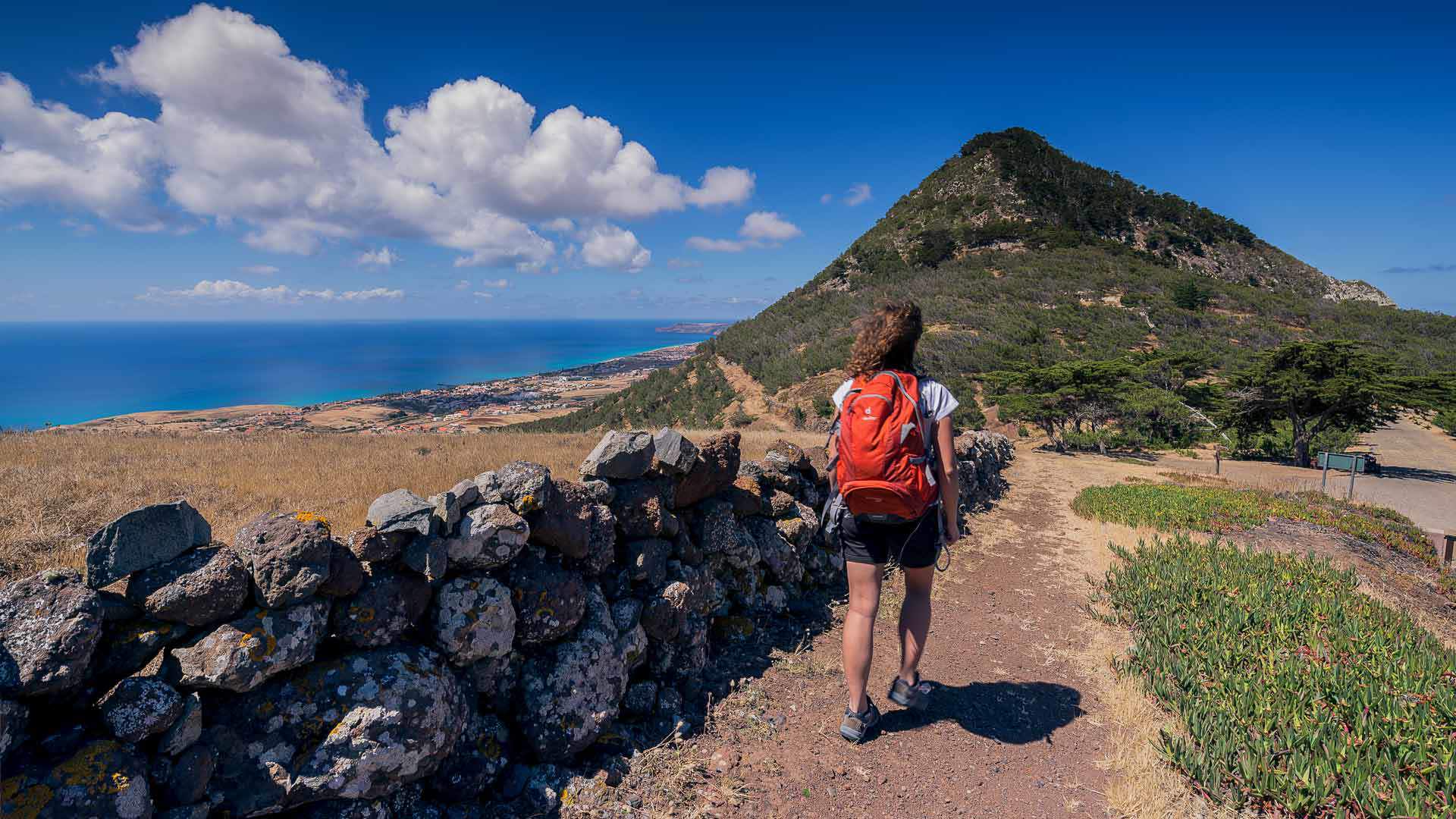
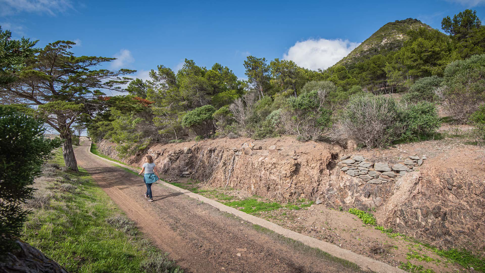
Proving to be more than just a beach destination, Porto Santo has peaks that can be visited via footpaths and hiking trails punctuated by viewpoints with unbeatable views. Discover them!
Hiking
PS PR 1 - Vereda do Pico Branco e Terra Chã
The Vereda do Pico Branco e Terra Chã will lead you to discover the diversity of the indigenous flora and privileged views over Porto Santo.
The Vereda do Pico do Castelo offers the possibility to enjoy the contact with the fauna and flora of Porto Santo Island and to discover unique landscapes.
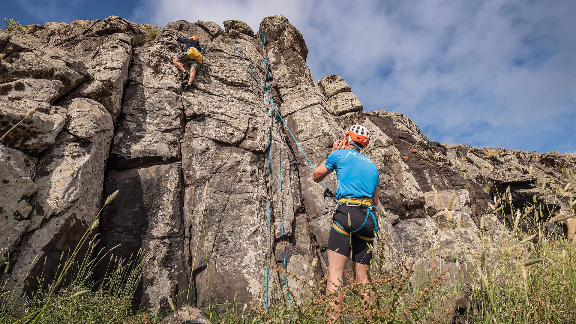
Looking for Madeira Climbing? Rugged cliffs, with the ocean as a backdrop, are the perfect scenery for an adrenaline-packed climbing experience in Madeira.
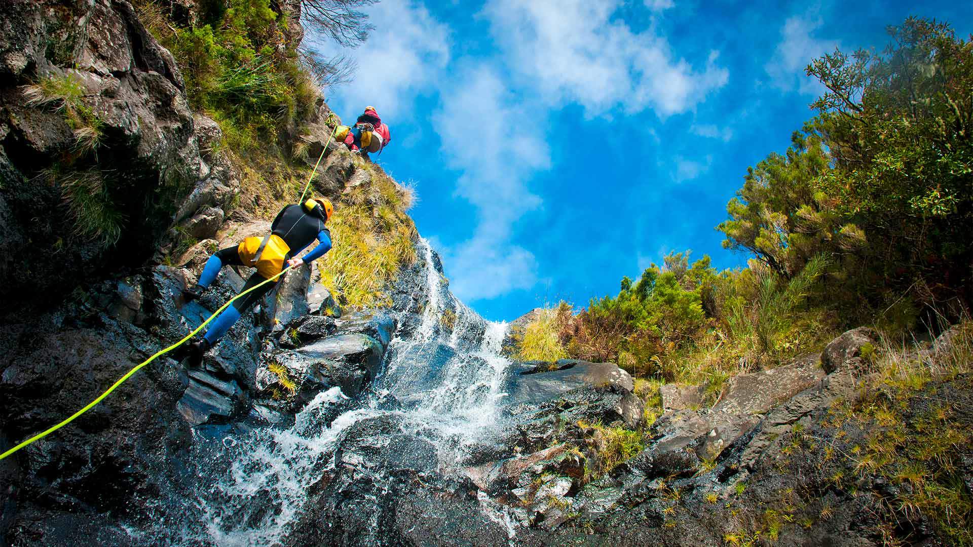
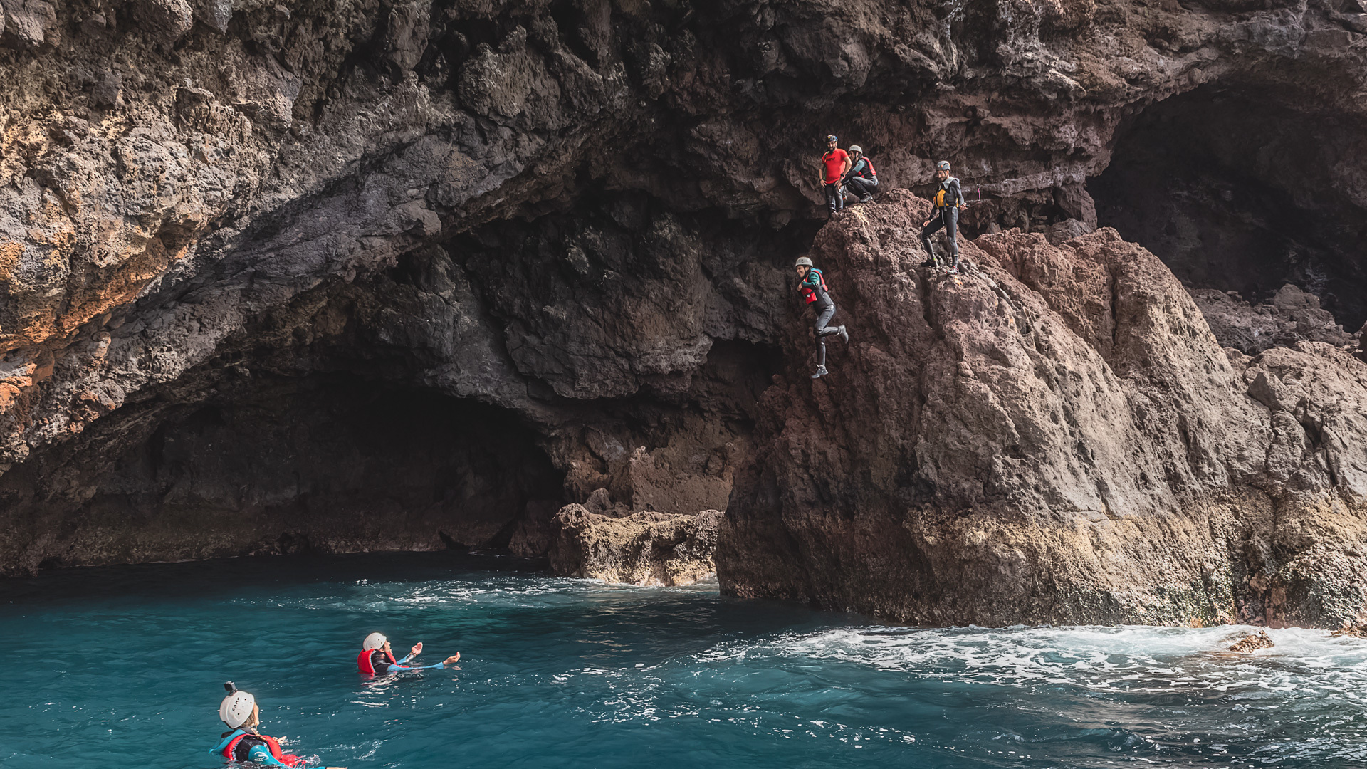
Coasteering Madeira? Walking, swimming, climbing, rappelling and jumping into water: all this in a single activity. Discover natural wonders of the island.
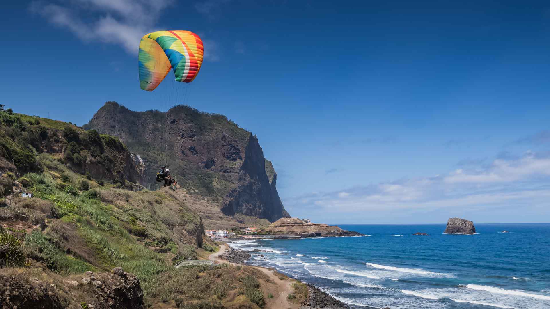
Exceed your limits and dare to Paragliding Madeira. Hovering over Madeira's mountains and its coastline is a vibrant and always very surprising activity.